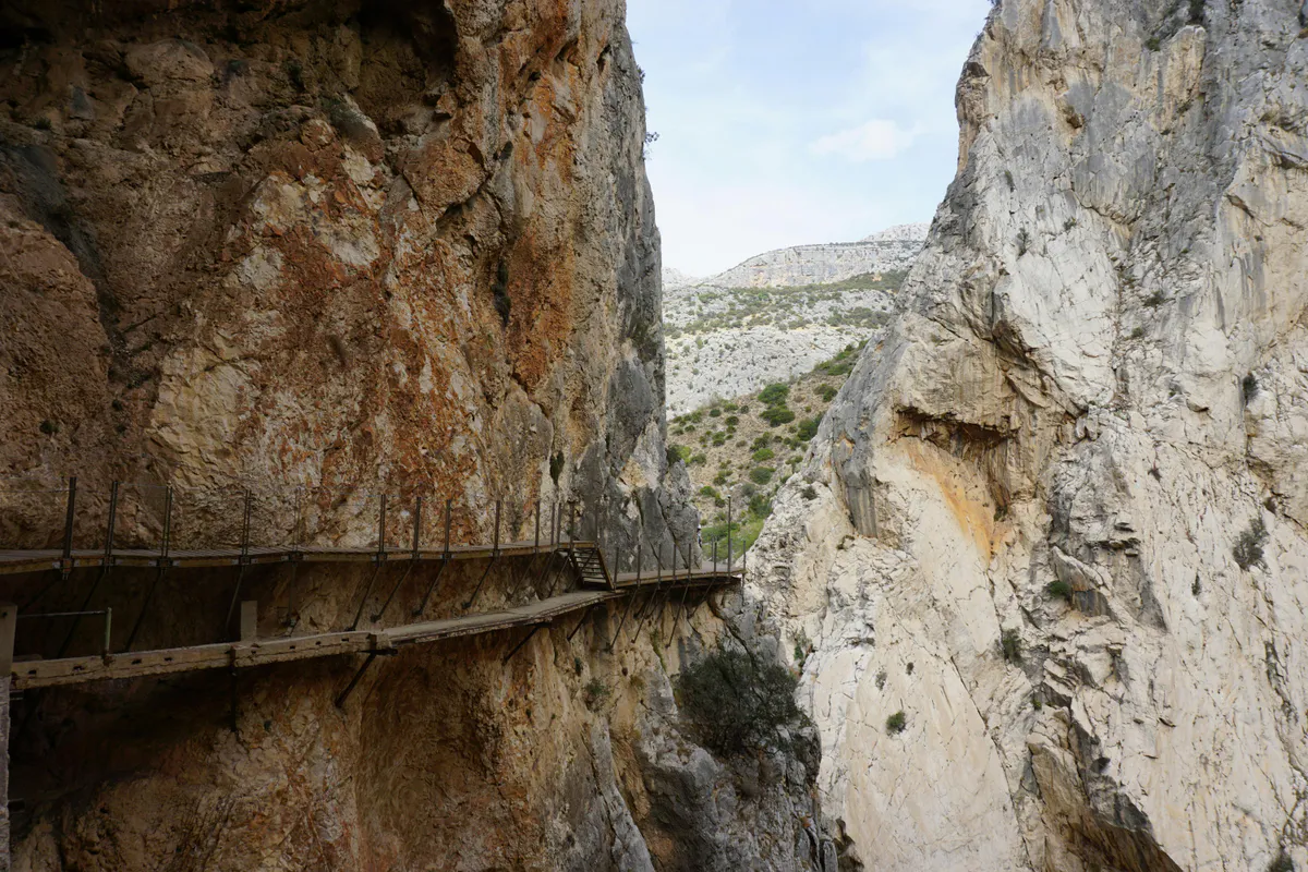

The Knife Edge is the most dangerous maintained trail in Maine. It traverses a narrow rock arête with drops of over 1,500 feet on both sides. Sections narrow to three feet wide with no handrails or safety features. People have died here. Do not attempt in rain, fog, high wind, or thunderstorms. There is no safe way to exit once you are on the ridge. Turn back at Pamola Peak if conditions are deteriorating.
What the Knife Edge Is
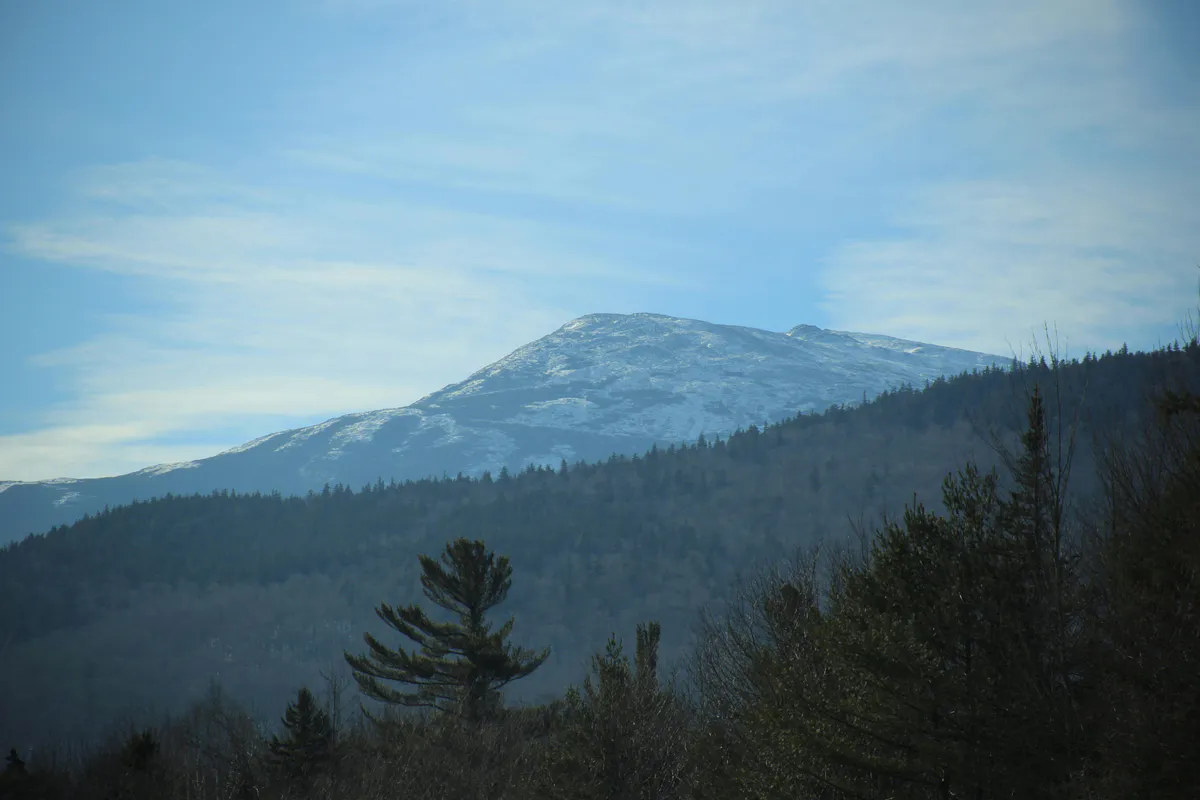
The Knife Edge is a 1.1-mile ridgeline connecting Pamola Peak (4,902 feet) to Baxter Peak (5,267 feet) on Mount Katahdin, Maine’s highest mountain and the northern terminus of the Appalachian Trail. It is an arête — a narrow spine of granite carved by glaciers on both sides — and it is the most exposed section of maintained trail in the northeastern United States.
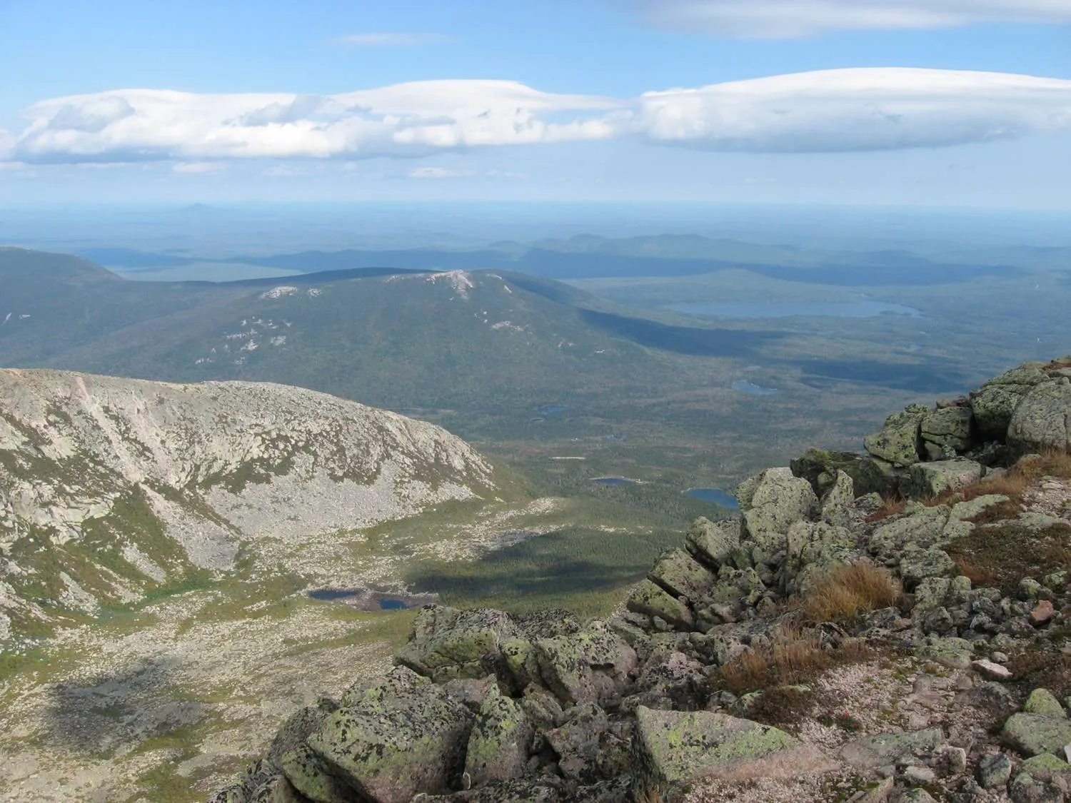
The traverse crosses four summits: Pamola Peak, Chimney Peak (4,902 feet), South Peak (5,240 feet), and finally Baxter Peak. Between them the ridge narrows to a rocky blade, sometimes only three feet across, with the Great Basin dropping roughly 1,500 feet to your left and the North Basin falling away to your right. In several sections you are climbing Class 3 terrain, using your hands to pull yourself over boulders and down short rock faces.
This is not a hike in any conventional sense. It is a sustained scramble that demands route-finding, hand-over-hand climbing, and comfort with severe exposure. There is no bailout point once you leave Pamola. You either complete the traverse to Baxter Peak or you reverse course back over terrain you already found difficult. The Knife Edge rewards experienced hikers with a traverse unlike anything else in Maine, but it punishes overconfidence without mercy.
Trail Sections
Roaring Brook to Chimney Pond
The approach begins at Roaring Brook Campground and follows the Chimney Pond Trail through dense boreal forest along Roaring Brook. The trail climbs steadily on well-maintained tread with rock steps and log bridges. You will pass several viewpoints of Katahdin’s massive headwall before arriving at Chimney Pond, a glacial tarn sitting in the heart of the Great Basin. Most parties take 2 to 2.5 hours for this section. Chimney Pond has a ranger station, lean-tos, and a privy.
Dudley Trail to Pamola Peak
From Chimney Pond, the Dudley Trail climbs steeply up the south wall of the Great Basin to reach Pamola Peak. This is a relentless ascent over boulders and rock slabs, with several sections requiring hands-on scrambling. Near the top, the trail emerges above treeline and the exposure begins. The final push to Pamola’s summit cairn gives you your first full view of the Knife Edge stretching west toward Baxter Peak. This is your last decision point. Assess the weather carefully before committing to the ridge.
Pamola Peak to Chimney Peak
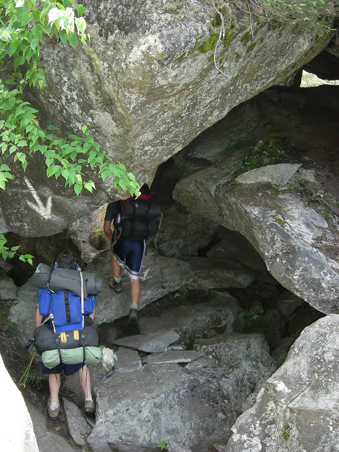
The traverse begins with a steep descent into the Chimney Notch, a narrow gap between Pamola and Chimney Peak. This is the most technically demanding section of the Knife Edge. You will downclimb rock faces using handholds and footholds, then scramble back up the other side. The notch funnels wind and can be surprisingly cold even on warm days. The rock is generally solid granite, but loose gravel sits in crevices. Take your time and test each hold.
Chimney Peak to South Peak to Baxter Peak
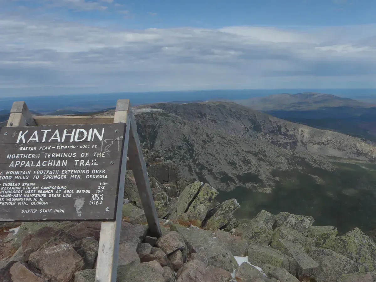
After Chimney Peak the ridge opens up slightly but remains exposed throughout. The trail follows the crest of the arête, weaving between boulders on the ridgeline. Some sections are narrow enough that you straddle the rock rather than walk across it. South Peak (5,240 feet) marks the beginning of the final ascent to Baxter Peak. The terrain moderates somewhat here, transitioning from Class 3 scrambling to a rocky walk along a wider ridge. The iconic Baxter Peak summit sign — marking the northern terminus of the Appalachian Trail and the highest point in Maine at 5,267 feet — is your finish line.
Direction: East to West
The recommended direction is east to west, starting at Pamola Peak and finishing at Baxter Peak. This approach puts the hardest scrambling (Chimney Notch) early in the traverse when you are fresh, and means you are climbing rather than downclimbing the steepest sections. Descending the Chimney Notch in the opposite direction is significantly more difficult and disorienting.
From Baxter Peak you can descend via the Hunt Trail (the Appalachian Trail route, 5.2 miles to Katahdin Stream Campground) or via the Saddle Trail back down to Chimney Pond and then out the way you came. The Hunt Trail descent requires a car shuttle or a long road walk unless you have arranged a pickup at Katahdin Stream. The Saddle-Chimney Pond return adds roughly 5 miles but brings you back to Roaring Brook.
Safety
The Knife Edge demands respect. It is not a trail you can muscle through on fitness alone.
Weather is the primary danger. Conditions on the ridge can change within minutes. Thunderstorms bring lightning to the highest, most exposed terrain in Maine with no shelter. Fog reduces visibility to feet and makes route-finding on the boulder-strewn ridge extremely difficult. Wind regularly exceeds 40 miles per hour on the ridge and gusts can reach 60 or more. Rain makes the granite slick and the scrambling sections genuinely treacherous.
Check the weather forecast obsessively. If there is any chance of thunderstorms, do not start. If clouds are building when you reach Pamola, turn around. There is no shelter on the Knife Edge and nowhere to hide.
Other considerations:
- Start early. Most parties need 8 to 12 hours for the full loop from Roaring Brook.
- Bring a headlamp in case you are caught out after dark.
- Carry at least 3 liters of water. There is no water source on the ridge.
- Do not wear cotton. Temperatures on the summit can be 20 to 30 degrees colder than Millinocket.
- Vertigo and fear of heights will be tested at every step. Know yourself before committing.
Baxter State Park opens its Togue Pond gate at 6:00 AM. The gate can close to new entries once parking reaches capacity, which happens regularly on summer weekends. Arrive before 6:00 AM and wait in line. If you are camping at Roaring Brook or Chimney Pond, you are already inside the gate and can start at first light.
When to Go
Spring
Snow and ice persist on Katahdin's upper elevations well into June. The Knife Edge is extremely dangerous with any ice. Park roads may not yet be open.
Summer
July through mid-September offers the most stable conditions. Start early to avoid afternoon thunderstorms. Weekdays are significantly less crowded.
Fall
September and early October can be excellent. Days are shorter, temperatures drop quickly, and early snow is possible above 4,000 feet. Check conditions carefully.
Winter
Baxter State Park closes to vehicle traffic. Winter ascents of the Knife Edge are undertaken only by experienced mountaineers with full winter gear.
The window for the Knife Edge is narrow. Realistically, you have mid-June through early October, with July and August being the most reliable months for good conditions. Even in midsummer, check the summit forecast on Mountain Forecast before committing.
What to Bring
What to Bring
- Sturdy hiking boots with aggressive tread (no trail runners)
- 3+ liters of water (no water on the ridge)
- Headlamp with fresh batteries
- Rain jacket and wind layer (summit temps 20-30°F colder than base)
- Warm hat and gloves (even in summer)
- High-calorie snacks and lunch
- Small daypack (hands must be free for scrambling)
- Map and compass or GPS (fog can disorient quickly)
- Sun protection (fully exposed above treeline)
- First aid kit
Leave trekking poles behind or strap them to your pack. You need both hands free for the scrambling sections. Anything that dangles — camera straps, loose water bottles — is a liability on the exposed terrain.
Connecting Hikes
The Knife Edge is typically part of a larger Katahdin loop. The most common circuit from Roaring Brook is: Chimney Pond Trail up, Dudley Trail to Pamola, Knife Edge to Baxter Peak, Saddle Trail down to Chimney Pond, Chimney Pond Trail back to Roaring Brook. This loop covers roughly 10 miles with about 4,000 feet of total elevation gain and takes 8 to 12 hours.
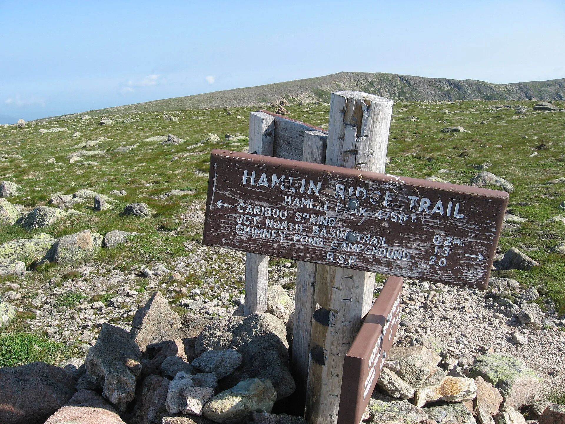
If you arrange a shuttle, you can descend via the Hunt Trail to Katahdin Stream Campground for a point-to-point traverse. Hamlin Peak (4,756 feet), Katahdin’s second-highest summit, can be added via the Hamlin Ridge Trail from the Saddle for hikers with energy to spare.
Getting There
Roaring Brook Campground is the trailhead. From Millinocket, take Baxter State Park Road north to the Togue Pond gatehouse (18 miles). From the gate, follow the park road 8 miles to Roaring Brook.
From Bangor: approximately 90 minutes (85 miles). Take I-95 north to exit 264 (Medway), then Route 11/157 west to Millinocket.
From Portland: approximately 4.5 hours (270 miles) via I-95 north.
Parking: Roaring Brook has limited parking. A Katahdin Trailhead Pass (KTP) is required and must be reserved through baxterstatepark.org up to two weeks in advance. Passes sell out quickly for summer weekends. No walk-ups are guaranteed.
Cell service: None. There is no cell coverage at Roaring Brook, Chimney Pond, or on Katahdin itself. Tell someone your plan and expected return time before you go.
FAQ
How long does the Knife Edge take?
The Knife Edge itself (Pamola to Baxter Peak) takes most hikers 2 to 4 hours depending on comfort level and conditions. The full loop from Roaring Brook, including approach and descent, takes 8 to 12 hours. Plan for a very long day.
Can beginners hike the Knife Edge?
No. The Knife Edge is expert-level terrain with sustained Class 3 scrambling and severe exposure. You should have significant experience with exposed ridgeline hiking and be comfortable with heights before attempting it. Build up to it with trails like the Beehive and Precipice in Acadia first.
Is the Knife Edge the hardest hike in Maine?
It is widely considered the most dangerous maintained trail in Maine due to the combination of exposure, scrambling difficulty, and lack of escape routes. Other trails are longer or steeper, but none match the Knife Edge for sustained consequence of a fall.
Can you turn around on the Knife Edge?
Technically yes, but practically it is very difficult. The scrambling sections are harder to reverse than to climb forward, particularly the Chimney Notch. Most hikers are committed once they leave Pamola Peak. Assess conditions before you start, not halfway across.
Are dogs allowed on the Knife Edge?
Dogs are allowed in Baxter State Park but must be leashed. However, taking a dog on the Knife Edge is extremely inadvisable and dangerous. The scrambling sections require human hands and the drops are fatal. Leave your dog at camp.