Maine’s Wildest Country
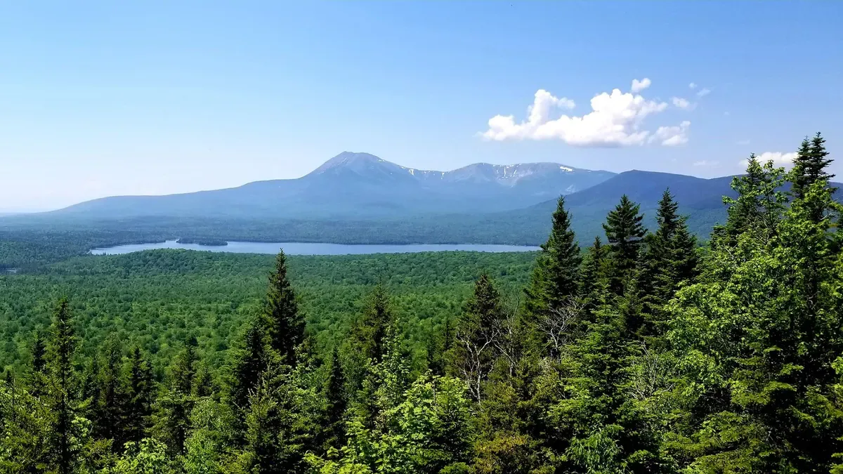
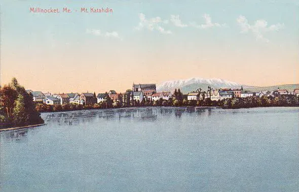
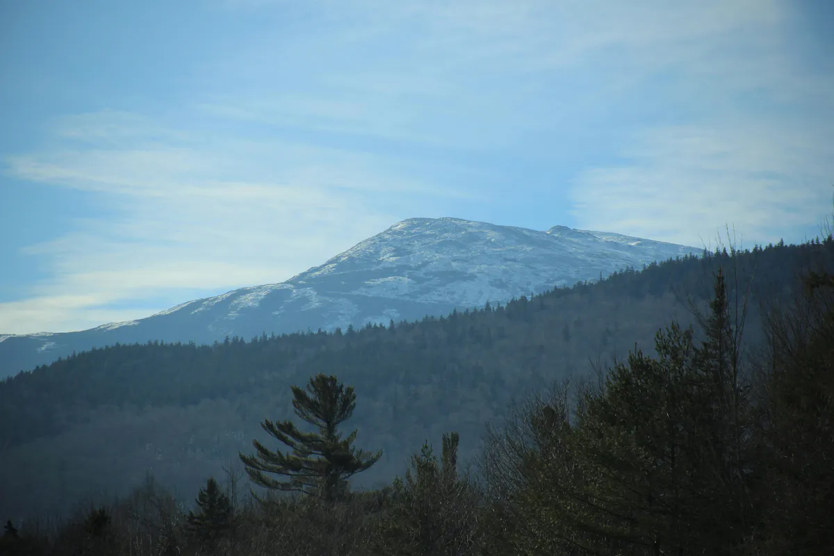
The Aroostook and Katahdin region is the Maine that surprises people. It is bigger than Connecticut and Rhode Island combined, almost entirely covered in forest, and anchored by the single most significant mountain in the northeastern United States. Mount Katahdin rises 5,267 feet above the surrounding plateau at the southern edge of Baxter State Park, visible from 50 miles away on a clear day, and it dominates everything about this part of the state. The AT ends here. The 100-Mile Wilderness begins just south. The towns are small, the roads get narrow fast, and the cell service disappears long before you reach a trailhead.
This is not a region you visit casually. The drives are long. Millinocket, the gateway to Baxter, sits about 4.5 hours north of Portland and a little over an hour past Bangor. Aroostook County is even further, stretching to the Canadian border across a landscape of potato farms, boreal forest, and communities that feel closer to New Brunswick than to the rest of Maine. But the payoff for that distance is access to the largest block of undeveloped land east of the Mississippi. There is nothing else like it between here and the Boundary Waters.
The region has two personalities. The southern half is Katahdin country: Baxter State Park, the national monument, and the network of logging roads and backcountry lakes that surround them. The northern half is Aroostook County, where the terrain flattens into rolling hills and farmland, and parks like Aroostook State Park offer a completely different experience. Both deserve time, but most visitors come for the mountain.

Baxter State Park
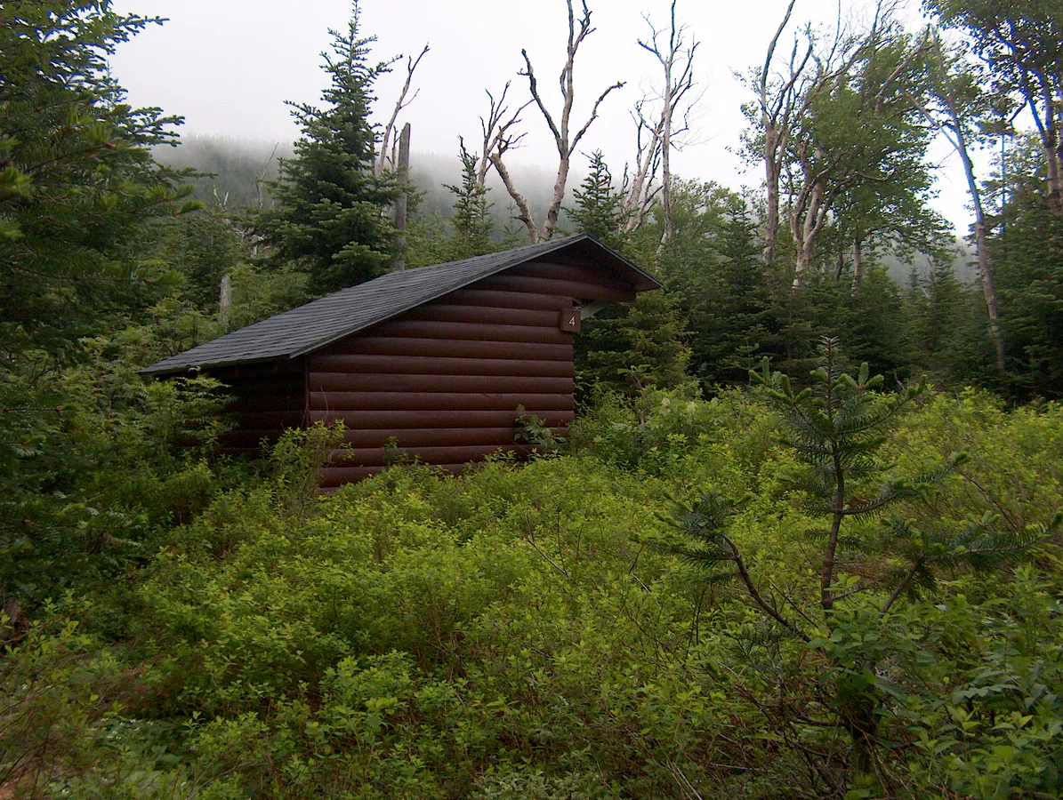
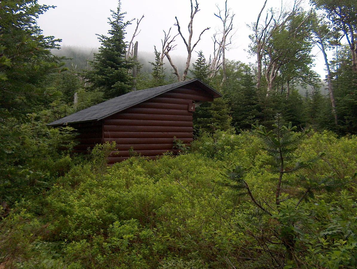
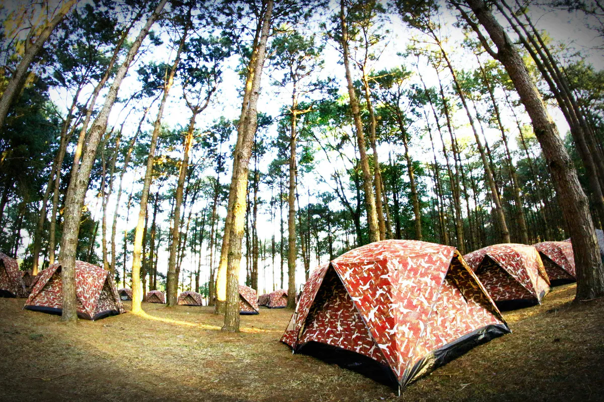
Baxter is not like other parks. It is not managed by the National Park Service or the state park system. It exists because one man, Percival Baxter, spent 32 years buying land with his own money and donating it to Maine, parcel by parcel, between 1931 and 1962. His deed of trust came with a condition that has shaped the park ever since: the land must remain “forever wild.” That mandate means no paved roads, no gift shops, no flush toilets, no cell towers, and no guardrails. The park road is unpaved and rutted. Campgrounds have outhouses and hand-pumped water. Rangers enforce rules aggressively, and the park will turn you away at the gate if it reaches capacity, which happens regularly in summer by 7 a.m.
The result is 209,644 acres that feel genuinely wild in a way that almost no other park on the East Coast can match. Black bears and moose are common. Loons call across the ponds at dusk. The night sky, far from any significant light pollution, is dark enough to see the Milky Way clearly. The trade-off is that everything requires planning. Day-use parking reservations are mandatory from May through October and open on a rolling basis at baxterstatepark.org. Popular dates sell out within minutes. Camping reservations follow a similar pattern. If you show up hoping to figure it out at the gate, you will likely spend the day in Millinocket instead.
The park has two entrances. The southern gate at Togue Pond is the main access point, about 18 miles from Millinocket on a mix of paved and gravel roads. The northern gate at Matagamon is less busy and provides access to the remote northern section, including South Branch Pond and the Traveler Range. Both gates open at 6 a.m. during peak season.


The Hikes
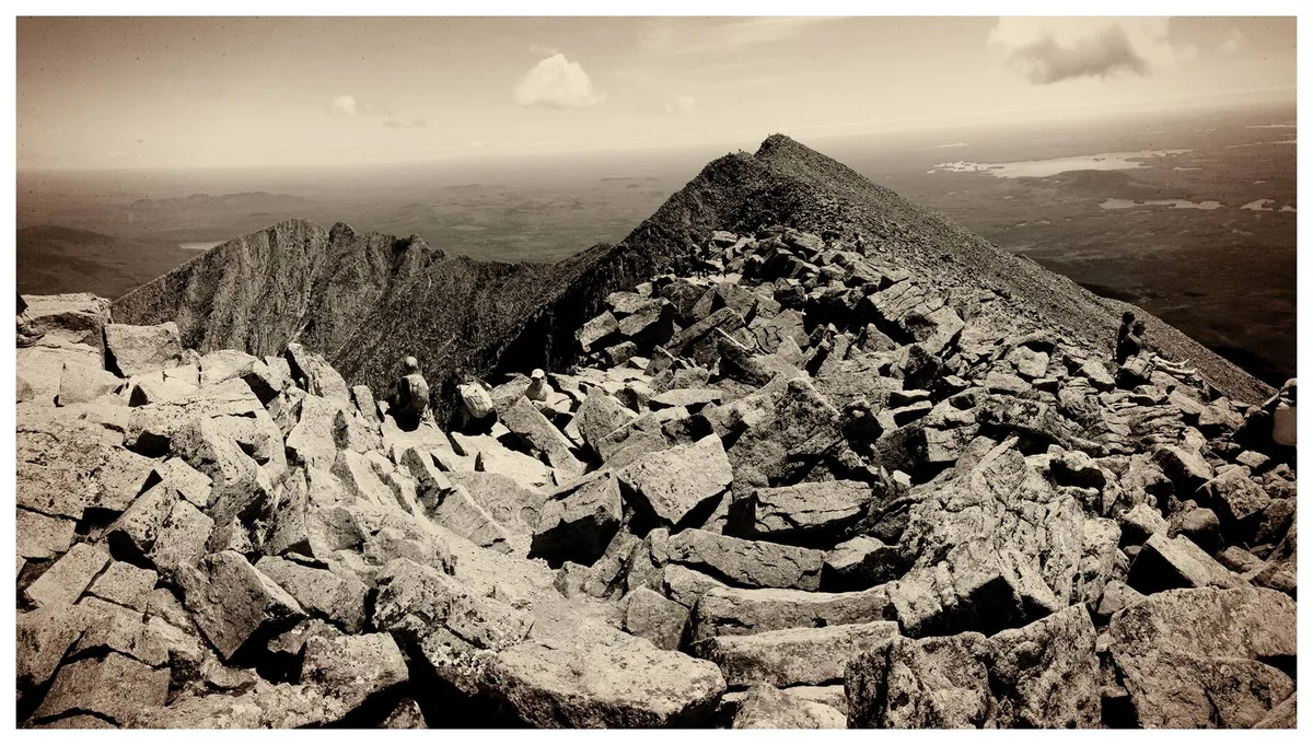
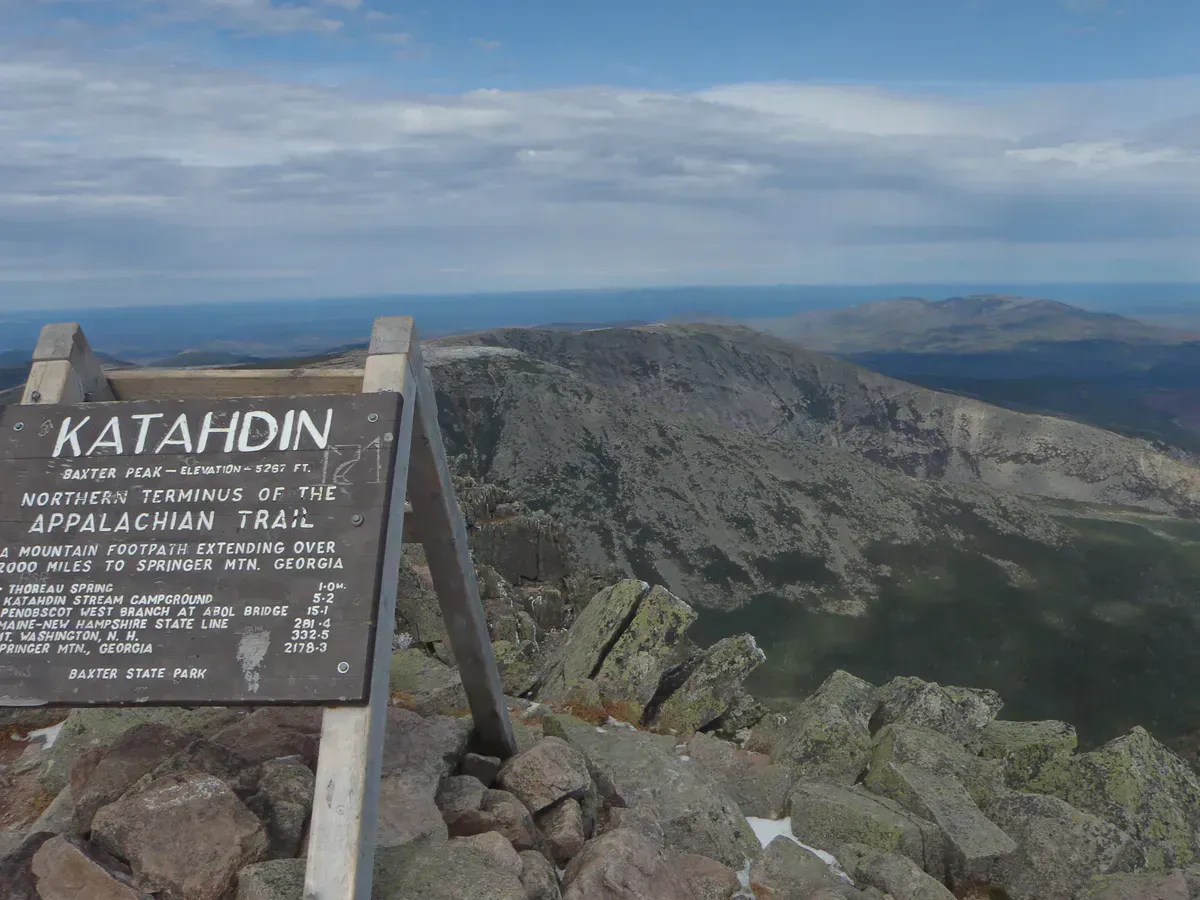
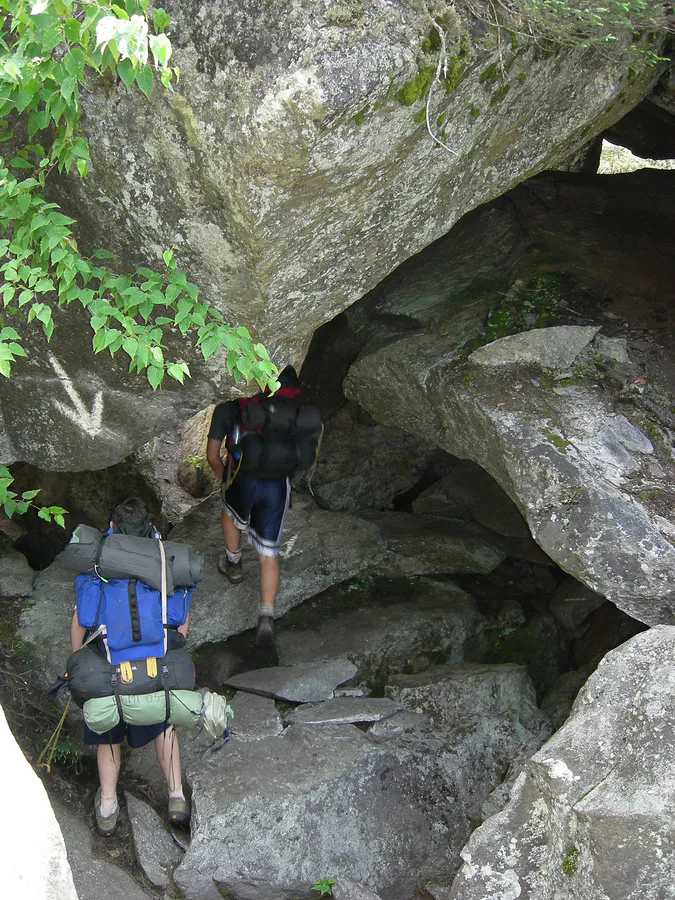
Katahdin is the centerpiece, and the Hunt Trail is the classic route. It starts at Katahdin Stream Campground, follows the final stretch of the Appalachian Trail, and climbs 4,188 feet over 10.4 miles round trip. The trail passes Katahdin Stream Falls at about a mile in, then steepens dramatically on the Hunt Spur, where you are scrambling over granite boulders using hands and feet for the final push to the tableland. Above treeline, the trail crosses the flat alpine plateau before the final rise to Baxter Peak and the iconic AT terminus sign. Plan 8 to 12 hours round trip. This is not a hike to rush.
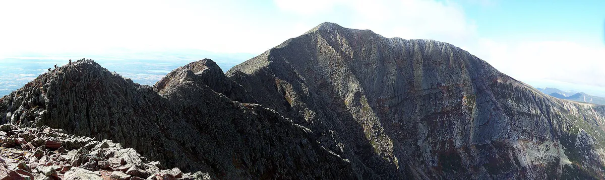
The Knife Edge is the other marquee experience. It is a 1.1-mile exposed ridge connecting Pamola Peak to Baxter Peak, with drops of 1,500 feet on both sides and sections narrow enough that you straddle the rock. This is a Class 3 scramble that requires calm weather, a head for exposure, and steady nerves. Most hikers approach via the Helon Taylor Trail from Roaring Brook Campground, traverse the Knife Edge to Baxter Peak, and descend the Saddle Trail or the Hunt Trail. The full loop is roughly 10 miles and takes a full day.
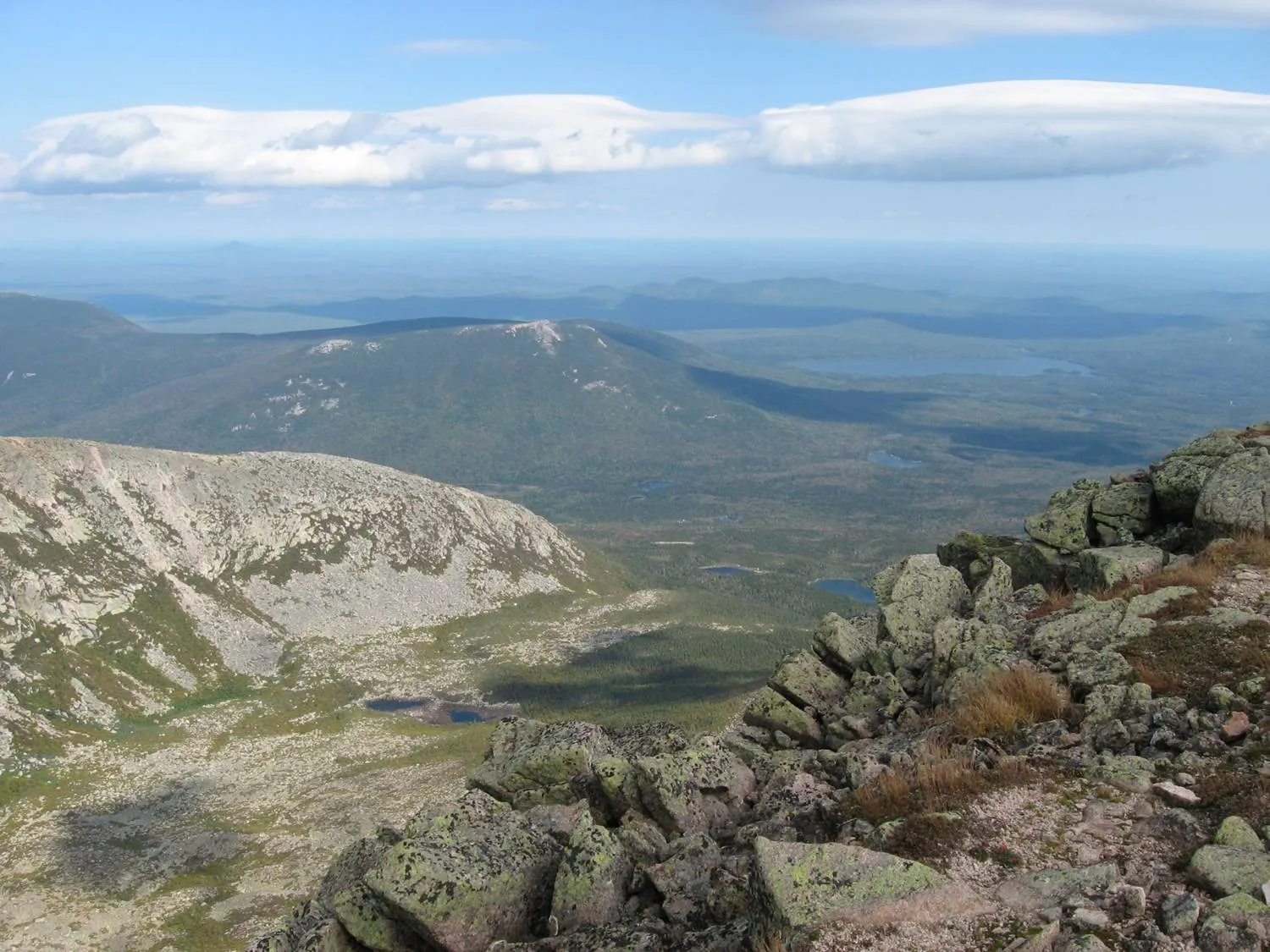
Beyond Katahdin, Baxter has dozens of trails that see a fraction of the traffic. South Turner Mountain (3.7 miles round trip, 1,594 feet of gain) starts from Roaring Brook and delivers the single best head-on view of Katahdin and the Great Basin. Moose are almost guaranteed at Sandy Stream Pond on the approach. Sentinel Mountain (6.2 miles round trip) passes through old-growth forest on its way to wide views of Katahdin from the west. Doubletop Mountain (6.0 miles, 2,352 feet of gain) is a steep, quiet climb to twin summits deep in the park interior. The Owl (6.6 miles, 2,500 feet of gain) sits right next to Katahdin and offers some of the best views of the Knife Edge you can get without being on it.
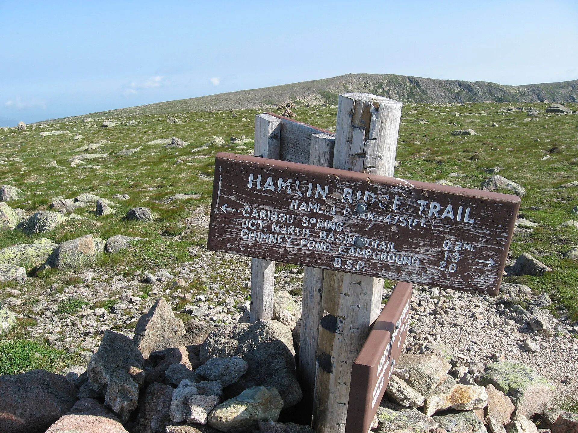
For something more remote, Hamlin Peak (10 miles round trip, 3,800 feet of gain) is Katahdin’s second-highest summit at 4,756 feet, reached via Chimney Pond with long stretches of above-treeline ridge walking. And in the park’s northern section, North Traveler Mountain (5.0 miles, 2,200 feet of gain) offers alpine-quality views from a trail that most Baxter visitors do not even know exists.
Baxter parking reservations are the single biggest obstacle to visiting. They open on a rolling two-week window at baxterstatepark.org, and peak dates (any Saturday in July or August, any day during peak foliage) disappear in under ten minutes. Set a reminder for 12:01 a.m. Eastern, two weeks before your target date. Midweek visits are significantly easier to book, and September weekdays are the sweet spot: warm days, quieter trails, and the first hints of foliage on the hardwoods.
Beyond Baxter
Katahdin Woods and Waters National Monument sits just east of Baxter and protects 87,563 acres of forest and river. Established in 2016, it is Maine’s newest federal land, and it could not be more different from Baxter in how it operates. There is no entrance fee. No parking reservations. Dogs are allowed. The Katahdin Loop Road is a scenic gravel drive with pull-offs and trailheads. And the monument holds an International Dark-Sky Sanctuary designation, meaning the stargazing here, on a clear night, is among the best you will find east of the Rockies. Camping is free at 18 primitive sites and four lean-tos.
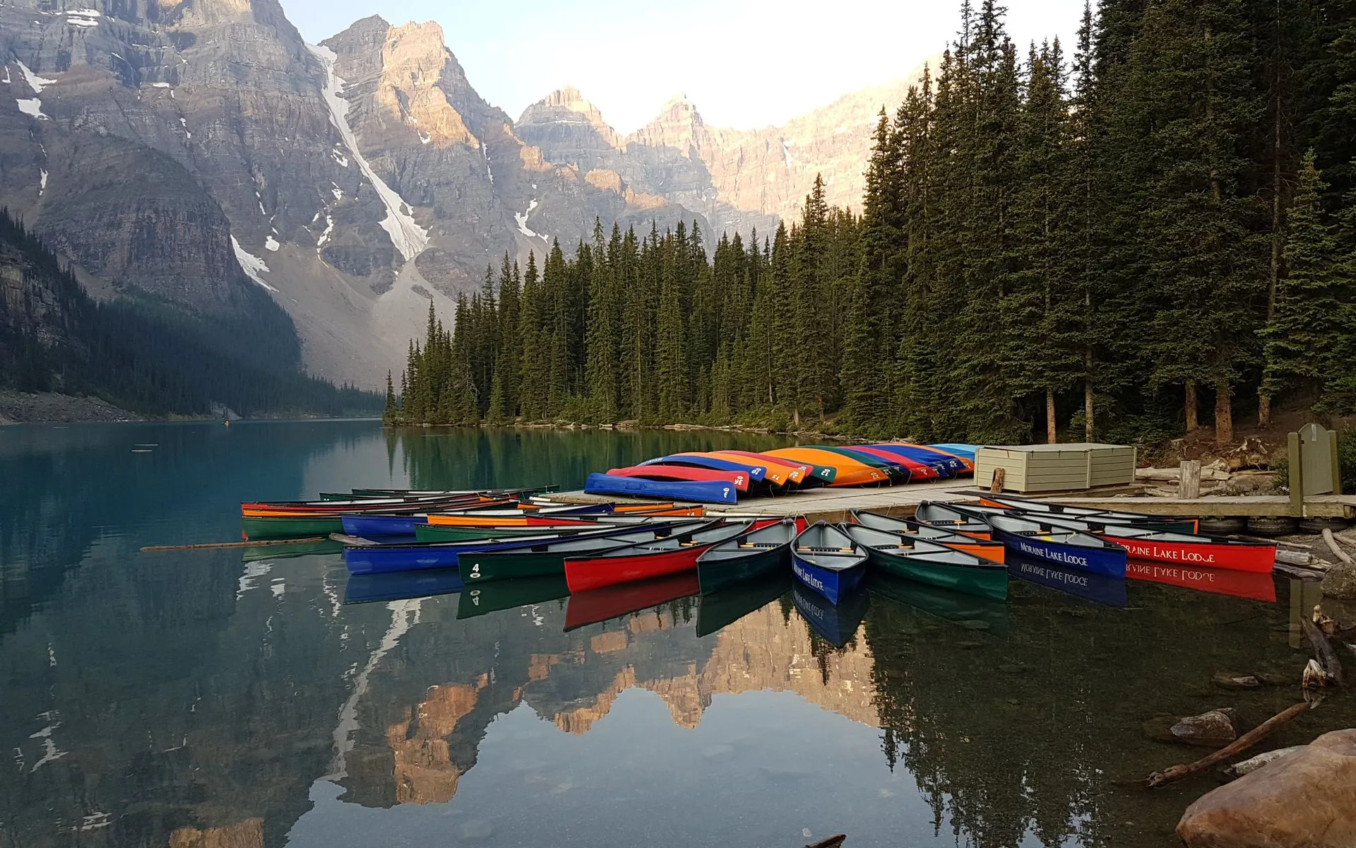
Further north, the Allagash Wilderness Waterway is 92 miles of protected river and lake, running from Telos Lake to the town of Allagash near the Canadian border. This is multi-day canoe country. Most paddlers take 7 to 10 days to run the full waterway, camping at the 81 primitive sites along the route. There are no roads, no resupply points, and no cell service. You carry everything you need. The Allagash was the first state-managed waterway in the National Wild and Scenic Rivers system, and it remains one of the premier wilderness paddling trips in the eastern United States.
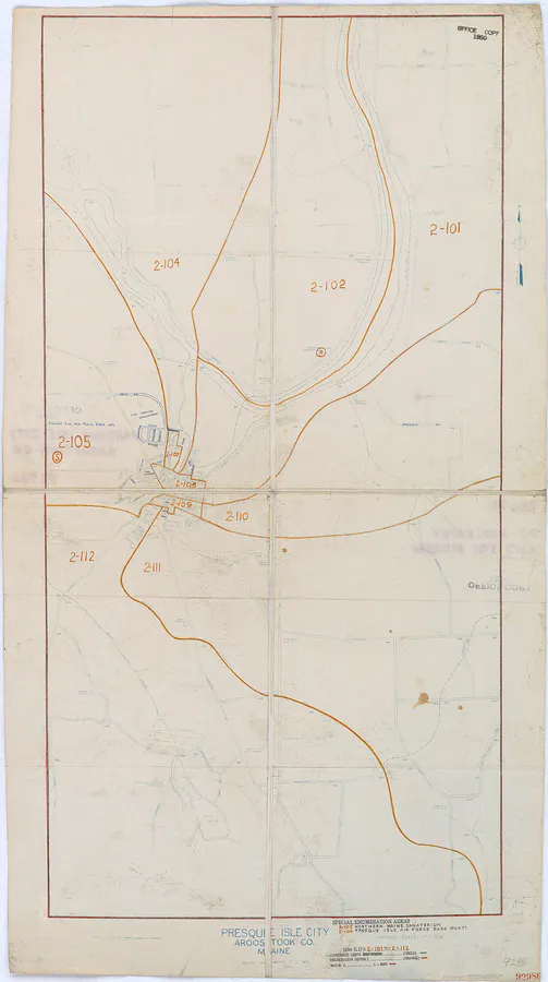
Aroostook State Park in Presque Isle offers something entirely different. Maine’s first state park, established in 1938, it centers on Echo Lake and Quaggy Jo Mountain, a 2.3-mile twin-peaked loop through boreal forest. The views from the summits look out over the broad farmland of Aroostook County, a landscape of potato fields and rolling hills that feels more like the Canadian Maritimes than the rest of Maine. Camping at the park’s 30 sites on Echo Lake is low-key and rarely full, even in peak summer.
For day-trip waterfalls, Shin Falls near Patten drops 44 feet across three tiers with a swimming hole at the base, and Katahdin Stream Falls is a 50-foot cascade on the Hunt Trail, reachable in about a mile from the campground. The Debsconeag Ice Caves south of Baxter are talus caves that hold ice into July, accessible via a short half-mile walk through Nature Conservancy land.
When to Visit
Spring
Mud season. Baxter roads closed until mid-May. Blackflies intense late May through mid-June.
Summer
Prime hiking. Long days, warm temps. Parking reservations essential. Bugs taper off by mid-July.
Fall
Peak foliage mid-September. Cooler temps, fewer bugs, thinner crowds. Baxter closes mid-October.
Winter
Baxter open for winter camping with permit. Extreme cold, deep snow, limited access. Experienced only.
Summer (mid-June through August) is prime hiking season. Days are long, temperatures reach the 70s and low 80s, and all trails and campgrounds are open. The trade-off is competition for parking reservations and, in June especially, blackflies. By mid-July the worst of the bugs are gone.
Fall is the locals’ favorite. Foliage peaks on Katahdin around mid-September, earlier than most of New England because of the elevation and latitude. By late September, the hardwoods across the lowlands are turning. Nights drop into the 30s, days hover in the 50s and 60s, and the park is noticeably quieter. Baxter closes most campgrounds and the park road by October 15.
Winter is for the experienced. Baxter allows winter camping by special permit, and the road into the park is not plowed. Access is by snowshoe or ski, and temperatures regularly hit well below zero. Only a handful of people summit Katahdin in winter each year. It is a serious mountaineering objective.
Late May through mid-June is blackfly season in the North Woods, and it is no joke. The small biting flies are worst near moving water and below treeline. Head nets, long sleeves, and DEET or picaridin are essential. If you can time your trip for late June onward, the blackflies are mostly gone and mosquitoes are manageable with basic repellent. July and August are the most comfortable months for bugs.
Don’t Miss
Five experiences that define a trip to the Katahdin region:
- Katahdin Stream Falls on the Hunt Trail. Even if you are not climbing Katahdin, the 1.2-mile walk from Katahdin Stream Campground to this 50-foot waterfall is one of the best short hikes in the park. You are walking the final miles of the Appalachian Trail, and the falls are powerful after spring snowmelt.
- Moose at Sandy Stream Pond. The pond sits at the start of the South Turner Mountain trail near Roaring Brook Campground. Early morning and dusk are prime time. Moose wade into the pond to feed on aquatic plants, sometimes three or four at once. Bring binoculars and keep your distance.
- Stargazing at Katahdin Woods and Waters. The national monument is an International Dark-Sky Sanctuary. On a clear, moonless night, the Milky Way is bright enough to cast shadows. Drive the Katahdin Loop Road after dark and pull over at any of the designated viewing areas. No reservation, no fee, no crowds.
- Shin Falls swimming hole. On the road between Patten and the northern gate of Baxter, Shin Falls is a 44-foot cascade with a deep, cold swimming hole at the base. It is free, rarely crowded, and the perfect way to cool off after a long hike.
- The view from South Turner Mountain. At 3,122 feet, South Turner is a fraction of Katahdin’s height, but the view looking across the Great Basin at the full massif, including the Knife Edge, Baxter Peak, and Hamlin Peak, is the best panorama of Maine’s highest mountain you can get without climbing it.
FAQ
What are the rules at Baxter State Park?
Baxter operates under a 'forever wild' mandate. No pets, no motorcycles, no ATVs, no audio devices on trails, no drones. Vehicle size is limited to 9 feet high, 7 feet wide, and 22 feet long. The park gate opens at 6 a.m. and closes at 10 p.m. Fires are only allowed in designated campground fire rings. Rangers enforce all rules strictly, and they will turn you away or cite you for violations.
How difficult is the Katahdin Hunt Trail?
It is the hardest day hike most people will ever do on the East Coast. The round trip is 10.4 miles with 4,188 feet of elevation gain. The upper section involves steep boulder scrambling using hands and feet. Above treeline, the trail crosses exposed alpine terrain with no shelter from weather. Plan 8 to 12 hours. Start early, bring more water than you think you need, and turn back if weather deteriorates. The park closes the trail if conditions are dangerous.
Is there cell service in the Katahdin region?
Not in Baxter State Park or Katahdin Woods and Waters. Cell service drops out north of Millinocket and does not return until you reach the towns on the far side. Millinocket has service, and there are a few spots on I-95 with coverage. Download offline maps before you go, and tell someone your itinerary. There is no reliable way to call for help from the backcountry.
How do I get camping reservations in Baxter State Park?
Reservations open on a rolling basis at baxterstatepark.org. For lean-tos and tent sites, reservations open four months in advance. For cabins at Daicey Pond and Kidney Pond, they open in January for the full season. The most popular sites and dates sell out the day they become available. Midweek and September dates are the easiest to book. Check the park website for the current reservation calendar and rules.
What is the best time to visit for fall foliage?
Foliage on Katahdin's upper slopes peaks around mid-September, about two to three weeks earlier than the rest of New England. The lowland forests around Millinocket and the park entrance roads peak in early to mid-October. Late September is the best compromise, catching color at all elevations. The park road typically closes for the season around October 15.