The Quiet Half of the Maine Coast
Downeast Maine starts where the crowds stop. East of Ellsworth, Route 1 narrows, the gift shops disappear, and the coast turns from tourist destination into working landscape. The towns here make their money from lobster, blueberries, and wreath-making, not from visitors. The tidal range in Cobscook Bay tops 24 feet. The cliffs along the Bold Coast drop 100 feet straight into the North Atlantic. And West Quoddy Head in Lubec is the easternmost point in the contiguous United States, a place so far east that sunrise arrives a full 20 minutes before it reaches Portland.
This is Washington County, the largest and least populated county in Maine. It covers an area roughly the size of Delaware and has about 32,000 residents. Some people call it the “Sunrise County” because of that early light. Others just call it forgotten. Either way, if you have had enough of the kayak-rental-and-lobster-roll coast, Downeast is the antidote.
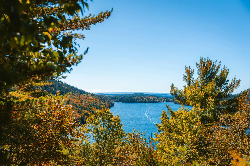
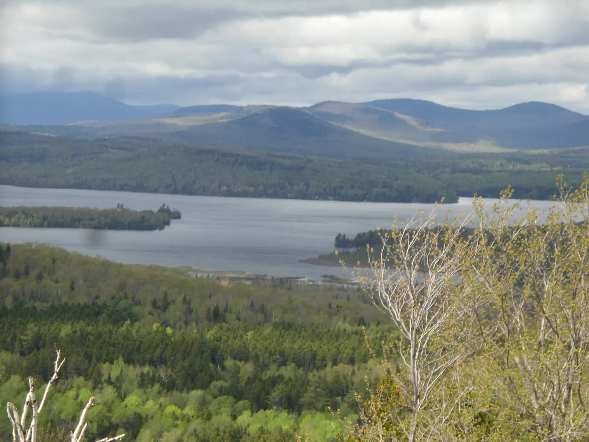
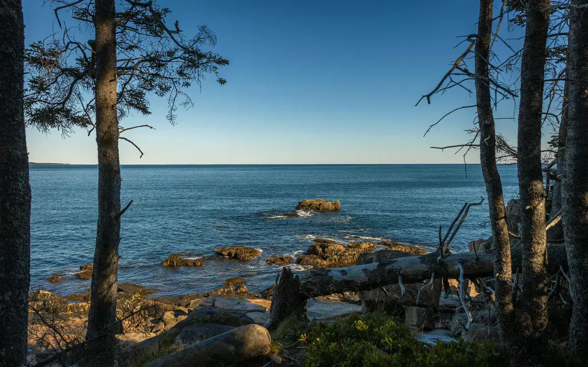
The geography is different here too. Instead of the sandy coves and gentle harbors of the southern coast, Downeast Maine is defined by vast tidal bays, exposed headlands, and long stretches where the forest runs right to the ocean’s edge. The spruce-fir forest is thicker, the fog is heavier, and the water is colder. Bring layers no matter when you visit.

The Bold Coast
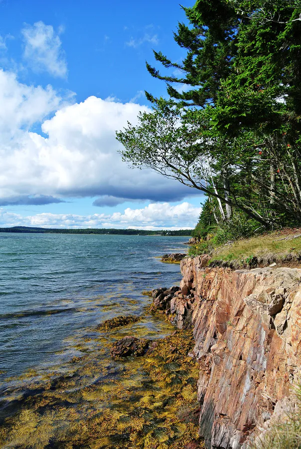
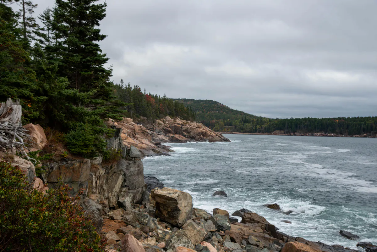
The Bold Coast is the main reason hikers make the drive to Washington County, and it delivers. The Bold Coast Trail in Cutler starts at a gravel parking lot on Route 191 and heads through dense spruce forest before arriving at the sea cliffs about 2 miles in. From there, the trail follows the cliff edge south with ocean views that will stop you in your tracks. The 4.2-mile out-and-back to the cliffs is the day-hike version. The full loop, which follows the Inland Trail back through the forest, covers 9.7 miles and makes for a solid full day.
What makes this trail exceptional is not just the scenery but the solitude. On a midsummer Saturday when Acadia’s trails are shoulder-to-shoulder, you might share the Bold Coast with a dozen other hikers. The Cutler Coast Public Reserved Land covers 12,234 acres, and most of it is untouched spruce forest and open coast. Five primitive campsites sit along the shoreline, available first-come-first-served and free of charge. Each one faces the ocean. There are no picnic tables, no outhouses at most sites, and no water source beyond what you carry or filter.
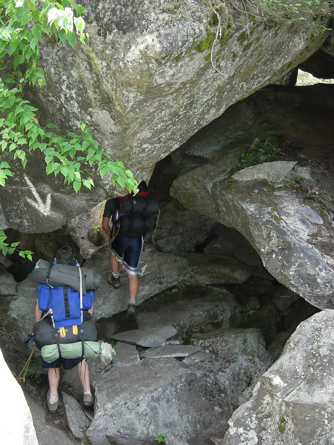
A few things to know before you go. There is no cell service anywhere on the trail or at the trailhead. The terrain is rooty, rocky, and wet in places, with sections of bog bridging and exposed rock near the cliffs. Wear boots with ankle support, not trail runners. The cliffs have no guardrails and the drops are real. And the fog can roll in fast, cutting visibility to 50 feet in minutes. None of this should discourage you. It should prepare you. This is one of the finest coastal hikes on the eastern seaboard.
For an overnight trip, the backcountry campsites make a two-day trip out of it: hike in on the Coastal Trail, camp at one of the cliff-edge sites, and hike out via the Inland Trail the next morning. Pack everything in, pack everything out.
Cobscook Bay and the Tides
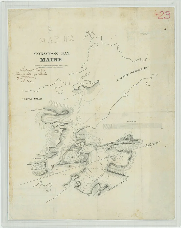
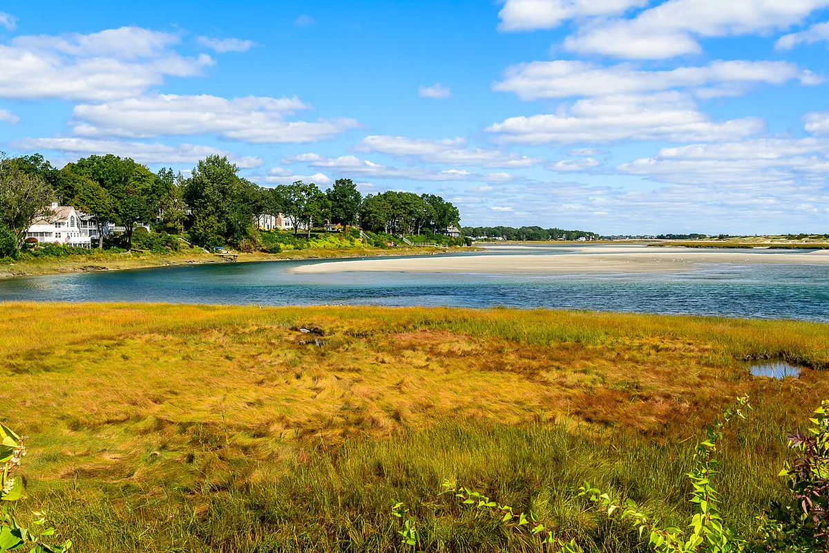
Cobscook Bay is the tidal engine of Downeast Maine. The name comes from the Passamaquoddy word meaning “boiling tides,” and when you see the water ripping through the narrow channels at the bay’s entrance, you understand why. The tidal range here runs between 24 and 28 feet, among the highest on the entire Atlantic coast. Only the Bay of Fundy, just across the Canadian border, is larger.
Cobscook Bay State Park sits on a peninsula that juts into the bay, and it is one of the best places to watch the tides work. At high tide, the water comes right up to the shoreline. Six hours later, the bay floor is exposed for hundreds of yards: mud flats, tidal pools, kelp beds, clam shells. Bald eagles circle overhead. Great blue herons stand motionless in the shallows. The park has short nature trails that loop through the forest to overlook points, and the campground has 106 sites, many of them on the water.
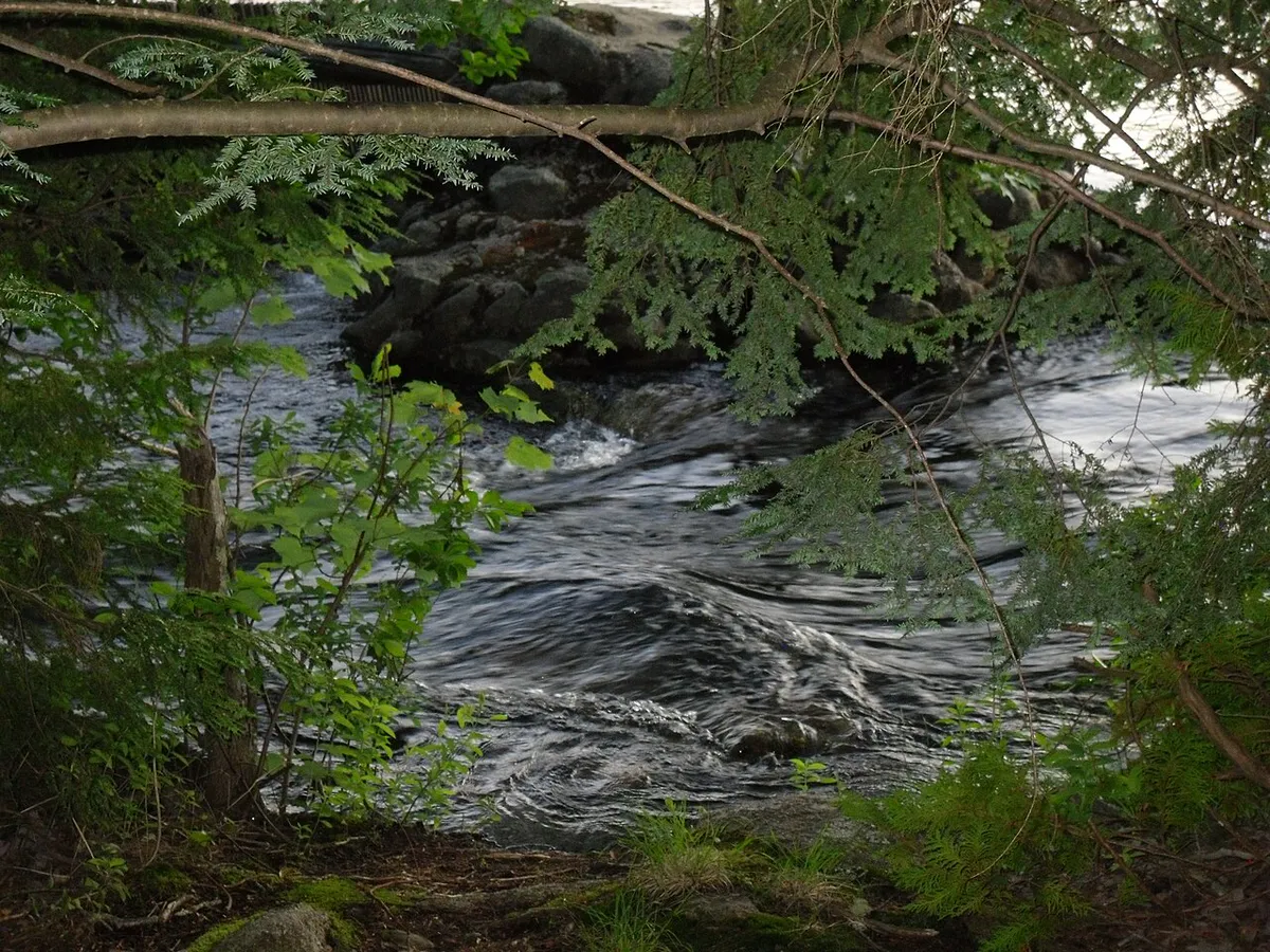
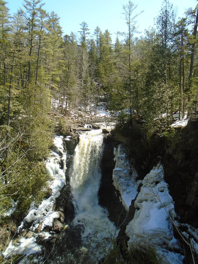
The tidal phenomenon also creates reversing falls in several spots around the bay. At Reversing Falls Park in Pembroke (free, no facilities), the incoming tide forces water through a narrow granite channel, creating whitewater that reverses direction every six hours. The best viewing is about two hours before high tide, when the water is moving fastest. Bring a picnic and sit on the rocks. It is one of those places that rewards patience.
Lubec and Eastport
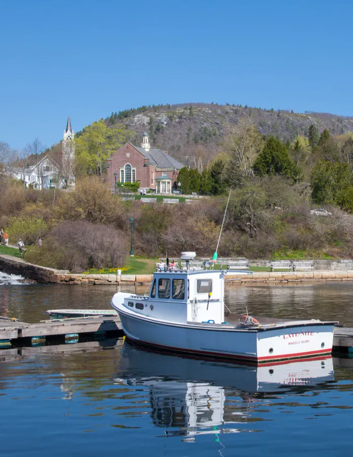
Lubec and Eastport sit across Cobscook Bay from each other, connected by a 40-minute drive around the bay (or a seasonal water taxi in summer). These are working fishing villages, not resort towns. The streets are quiet, the buildings are weathered, and the lobster boats head out before dawn.
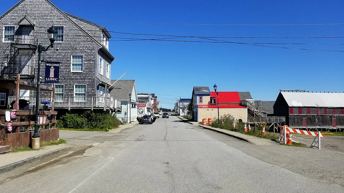
Lubec holds the distinction of being the easternmost town in the United States. It peaked as a sardine-canning capital in the early 1900s, when over 20 factories lined the waterfront. The last cannery closed in 2001, and the town has been reinventing itself slowly. Today it has a handful of restaurants, a couple of galleries, and a community that is genuinely happy to see visitors without being dependent on them. The big draw is its position as the gateway to Quoddy Head State Park and the West Quoddy Head Lighthouse, about 4 miles south of town.
Lubec is also the jumping-off point for Campobello Island, New Brunswick, Canada. The FDR Memorial Bridge connects Lubec directly to the island, where Franklin Roosevelt’s 34-room “cottage” is preserved as the Roosevelt Campobello International Park. The park is free and jointly managed by the US and Canada. You will need a passport or passport card to cross, and the time zone changes (Campobello runs on Atlantic Time, one hour ahead of Maine). The island itself is quiet, wooded, and surrounded by cold water. A drive around the perimeter takes about 45 minutes.
Eastport claims the title of easternmost city in the United States (Lubec is a town, Eastport is a city, and locals on both sides care about the distinction). With about 1,300 residents, it is one of the smallest cities in America. The downtown sits on Moose Island, connected to the mainland by a causeway, and the waterfront looks across Passamaquoddy Bay toward Campobello and Deer Island. Old Sow, the largest tidal whirlpool in the Western Hemisphere, churns in the waters between Eastport and Deer Island. You can sometimes see it from the breakwater, though its intensity varies with the tides.
Whale watching from Eastport is excellent. Finback whales, minke whales, and occasionally humpbacks feed in the nutrient-rich waters of the bay. Several operators run trips from the town pier. The annual Eastport Pirate Festival (weekend after Labor Day) fills the town with period costumes and cannon fire. It is exactly as eccentric as it sounds.
For food in Lubec, Cohill’s Inn does reliable dinners and the water views are hard to beat. In Eastport, The Happy Crab on Water Street serves fresh seafood from their own boats. If you are driving between the two, stop at the Sunrise County Farmers Market in Machias on Saturday mornings for blueberry everything. And bring cash: several Downeast businesses are cash-only or have spotty card readers.
West Quoddy Head
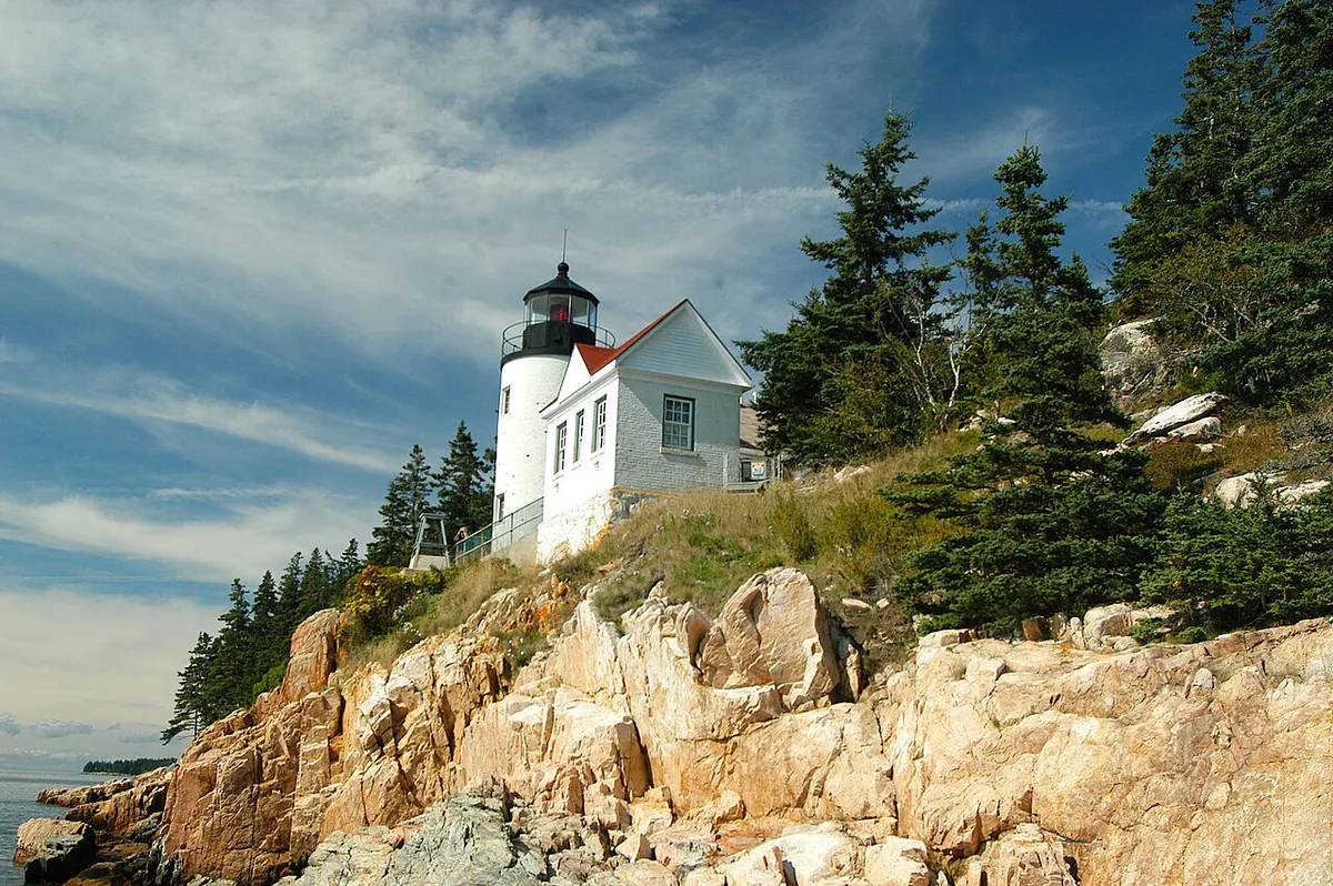
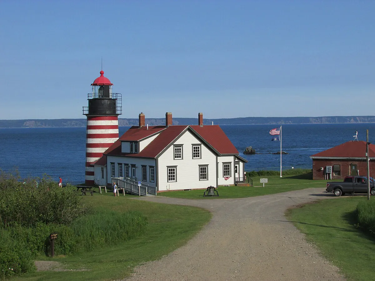
The West Quoddy Head Lighthouse is the most photographed thing in Washington County, and it earns it. The red-and-white candy-stripe paint scheme, applied since the 1850s, makes it one of the most distinctive lighthouses in America. The original tower was built in 1808 under orders from Thomas Jefferson. The current structure dates to 1858 and stands 49 feet tall on a rocky headland overlooking Grand Manan Channel.
The lighthouse sits inside Quoddy Head State Park, which covers 541 acres of coastal headland. The Coastal Trail is a 4-mile loop that follows the cliff edge south from the lighthouse, passing 90-foot sea cliffs, stands of twisted spruce, and two subarctic peat bogs. The bogs are a genuine rarity this far south: sphagnum moss, carnivorous sundews, and bakeapple (cloudberry) plants, species more commonly found in Labrador or northern Scandinavia. A boardwalk crosses the largest bog, keeping your feet dry and the fragile plants intact.
People come here for sunrise. West Quoddy Head is the first place in the contiguous US to catch the morning light for parts of the year (Cadillac Mountain in Acadia holds the title during other months, depending on the season and the math). The parking lot opens at 9 a.m. during regular hours, but the park often opens earlier during peak summer for dedicated sunrise watchers. Check with the gatehouse.
When to Visit
Spring
Cold and foggy. Trails may be muddy. Most businesses open by Memorial Day.
Summer
Warmest weather, longest days. Wildflowers on the Bold Coast. Still uncrowded.
Fall
Blueberry barrens turn crimson in September. Fewer services, but the light is golden.
Winter
Many businesses close. Roads are maintained but remote. Bring everything you need.
Late June through September is the window. July and August bring the warmest weather (highs in the mid-60s to low 70s, cooler on the water), the longest days, and wildflowers along the Bold Coast cliffs. Even at peak summer, Downeast feels uncrowded compared to the rest of the Maine coast.
September is gorgeous if you are flexible. The blueberry barrens around Cherryfield and Columbia Falls turn deep crimson, creating one of the most underrated fall color displays in Maine. The barrens stretch for miles, and in late September the fields look like they are on fire. Some services start closing after Labor Day, but the weather is often still mild and the trails are even emptier.
Spring is cold, foggy, and muddy. Most seasonal businesses open by Memorial Day, but the water temperature does not get above bracing until mid-July. Winter is for serious adventurers only. Roads are plowed but the distances between towns mean you need to be self-sufficient. Many restaurants and lodgings shut down from November through April.
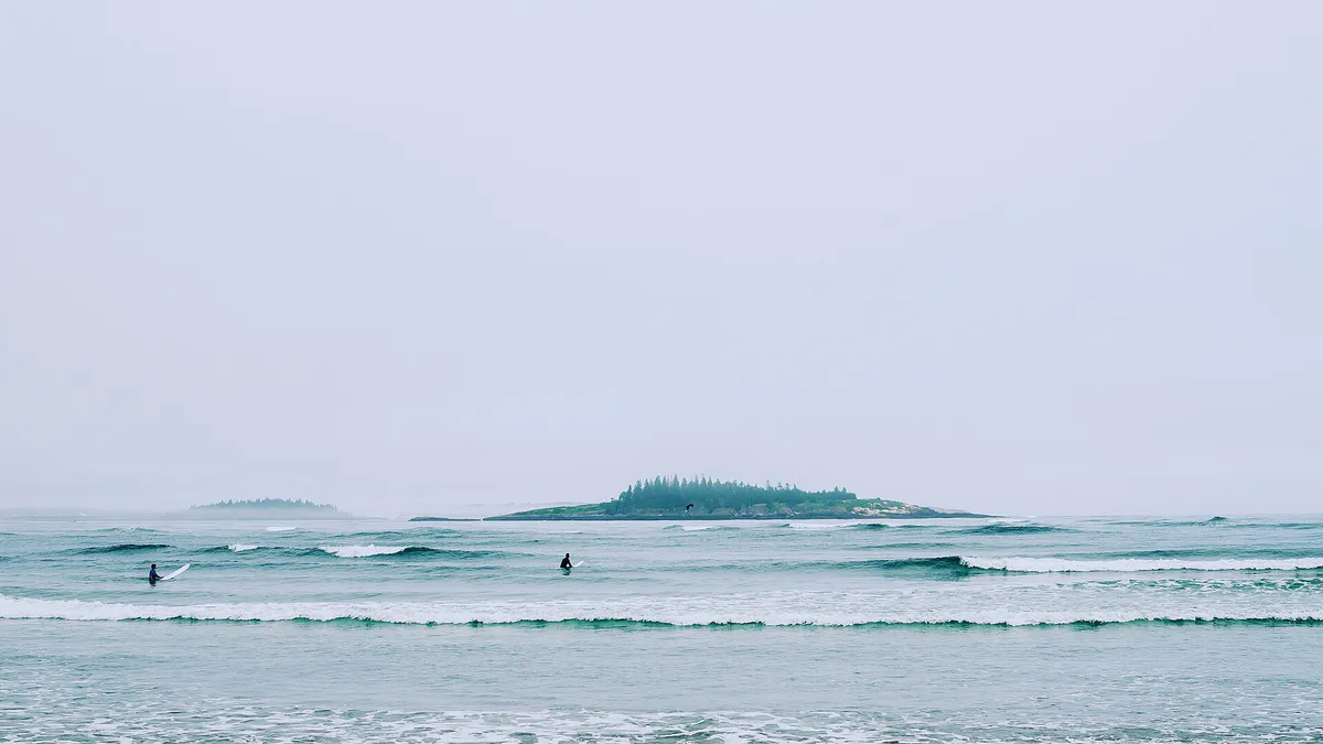
Downeast Maine gets more fog than anywhere else in the state. Lubec averages about 60 foggy days per year, and the Bold Coast cliffs can be socked in for days at a time. Do not treat fog as a ruined day. The coastline in fog is moody and beautiful, the lighthouses look their best, and the foghorns are part of the soundtrack. Bring a waterproof layer and enjoy it. But if you are hiking the Bold Coast cliffs in thick fog, stay well back from the edge. There are no railings.
Don’t Miss
Five experiences that define a trip Downeast:
- Bold Coast Trail in Cutler. The 4.2-mile hike to the sea cliffs is the single best coastal hike in Maine. The full 9.7-mile loop earns a spot on any serious East Coast hiking list.
- Jasper Beach in Machiasport. A crescent of smooth, polished rhyolite pebbles instead of sand. The stones click and rattle with every wave. There is nothing else like it on the East Coast.
- Reversing Falls Park in Pembroke. Free, no facilities, no crowds. Watch the tide force an entire bay through a granite slot. Best two hours before high tide.
- Sunrise at West Quoddy Head. The easternmost sunrise in the contiguous US, with a candy-stripe lighthouse as the backdrop.
- Roque Bluffs State Park. A rare sand-and-pebble ocean beach on Englishman Bay with warm freshwater swimming at Simpson Pond right across the road. Good for families.
FAQ
How difficult is the Bold Coast Trail?
The trail is rated moderate, but that undersells it. The 4.2-mile out-and-back to the cliffs has rooty, rocky terrain and some muddy sections. The full 9.7-mile loop adds significant distance through dense forest with less-defined trail in places. Wear proper hiking boots, bring more water than you think you need, and budget 3 to 4 hours for the short version, 5 to 7 for the full loop. The trail is not technical, but it is remote and there is no cell service.
How do the tides work at Cobscook Bay, and are they dangerous?
Cobscook Bay has a tidal range of 24 to 28 feet, meaning the water level changes dramatically every six hours. The tides are not dangerous if you pay attention, but they move fast. Do not walk out on exposed tidal flats without knowing when the tide turns. Check a tide chart for Eastport or Lubec before any shoreline activity. The reversing falls at Pembroke are safe to watch from the rocks but not safe to swim in.
Do I need a passport to visit Campobello Island?
Yes. Campobello Island is in New Brunswick, Canada. You need a valid US passport or passport card to cross the FDR Memorial Bridge from Lubec. The crossing is typically quick and straightforward, but be aware that Campobello runs on Atlantic Time, one hour ahead of Maine. The Roosevelt Campobello International Park on the island is free to visit.
Is there cell service in Downeast Maine?
Spotty at best. You will have service in Machias, Lubec, and Eastport, though it can be weak. The Bold Coast Trail has no service at all. Much of Route 191 between Machias and Cutler is a dead zone. Download offline maps before you head east, and do not rely on your phone for navigation on backcountry trails. Cobscook Bay State Park has limited service depending on your carrier.
Where should I eat in Downeast Maine?
Options are limited compared to the southern coast, so plan ahead. In Machias, Helen's Restaurant is a local institution famous for pies. In Lubec, Cohill's Inn serves solid dinners with water views. Eastport has The Happy Crab on Water Street and a few seasonal spots on the pier. The Riverside Inn in East Machias does upscale dinners by reservation. Bring groceries if you are camping, because the nearest full supermarket to Lubec is the Hannaford in Machias, about 30 minutes west.