

Katahdin Views Without the Katahdin Climb
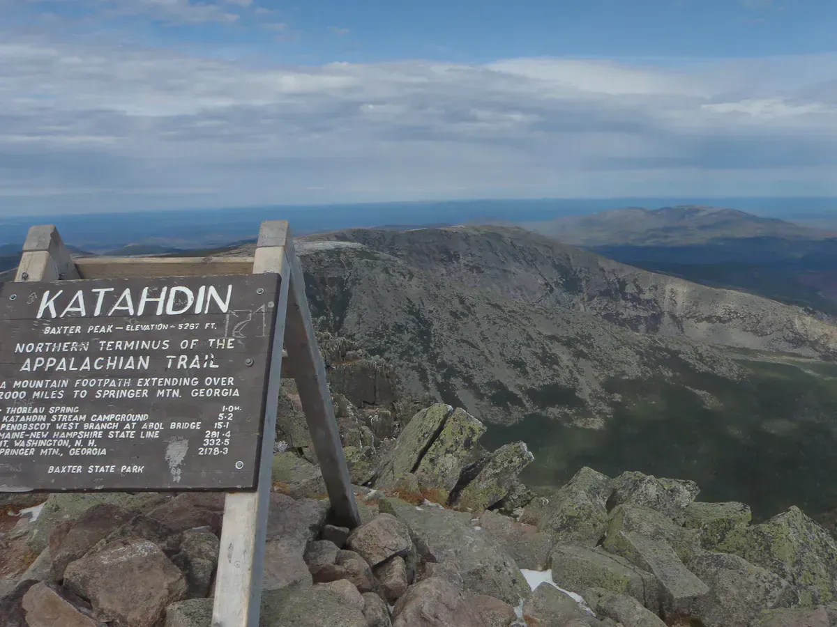
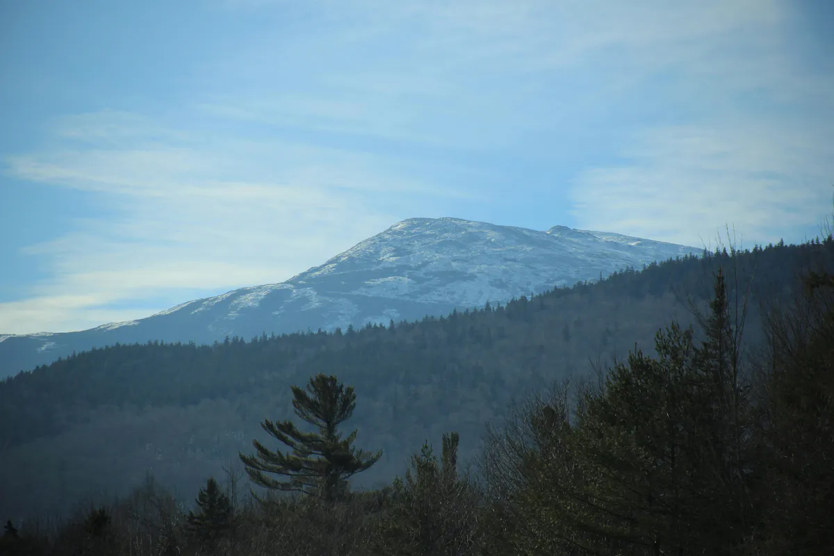
Sentinel Mountain is one of Baxter State Park’s best-kept secrets. At 1,842 feet, it will never make anyone’s list of the tallest peaks in the park, but it might be the best viewpoint per effort ratio in all of northern Maine. The 6.2-mile round trip follows a moderate trail through old-growth spruce and fir forest, and the summit delivers a panorama that includes Katahdin, the Knife Edge, the Owl, Doubletop Mountain, and miles of unbroken wilderness stretching north toward Canada.
For hikers who want to see Katahdin up close but are not ready for the grueling climb up the Hunt Trail or the nerve-wracking traverse of the Knife Edge, Sentinel Mountain is the answer. You get the postcard view of Maine’s highest peak from a comfortable distance, standing on warm granite ledges with a fraction of the crowd.
A Mountain with Presidential History
Sentinel Mountain was formerly known as Roosevelt Mountain, named after Theodore Roosevelt, who hiked in this area during an 1879 trip to the Maine woods as a Harvard student. Roosevelt’s expedition to the Katahdin region was one of his earliest wilderness adventures, predating his presidency by more than two decades. The young Roosevelt was captivated by the rugged landscape and abundant wildlife of the northern Maine forest, an experience that helped shape his later conservation legacy. The mountain was eventually renamed Sentinel Mountain for its role as a natural lookout over the surrounding terrain.
Trail Sections
Kidney Pond Parking to Trail Junction
The hike begins at the Kidney Pond Day-Use Parking Area, located about 11 miles west on the Park Tote Road from the Togue Pond Gatehouse. The first stretch follows a well-worn path through mixed forest, sharing the route with trails leading to Lily Pad Pond and Rocky Ponds. The footing is packed earth and roots, mostly flat. Blue paint blazes mark the way.
Trail Junction to Mid-Mountain
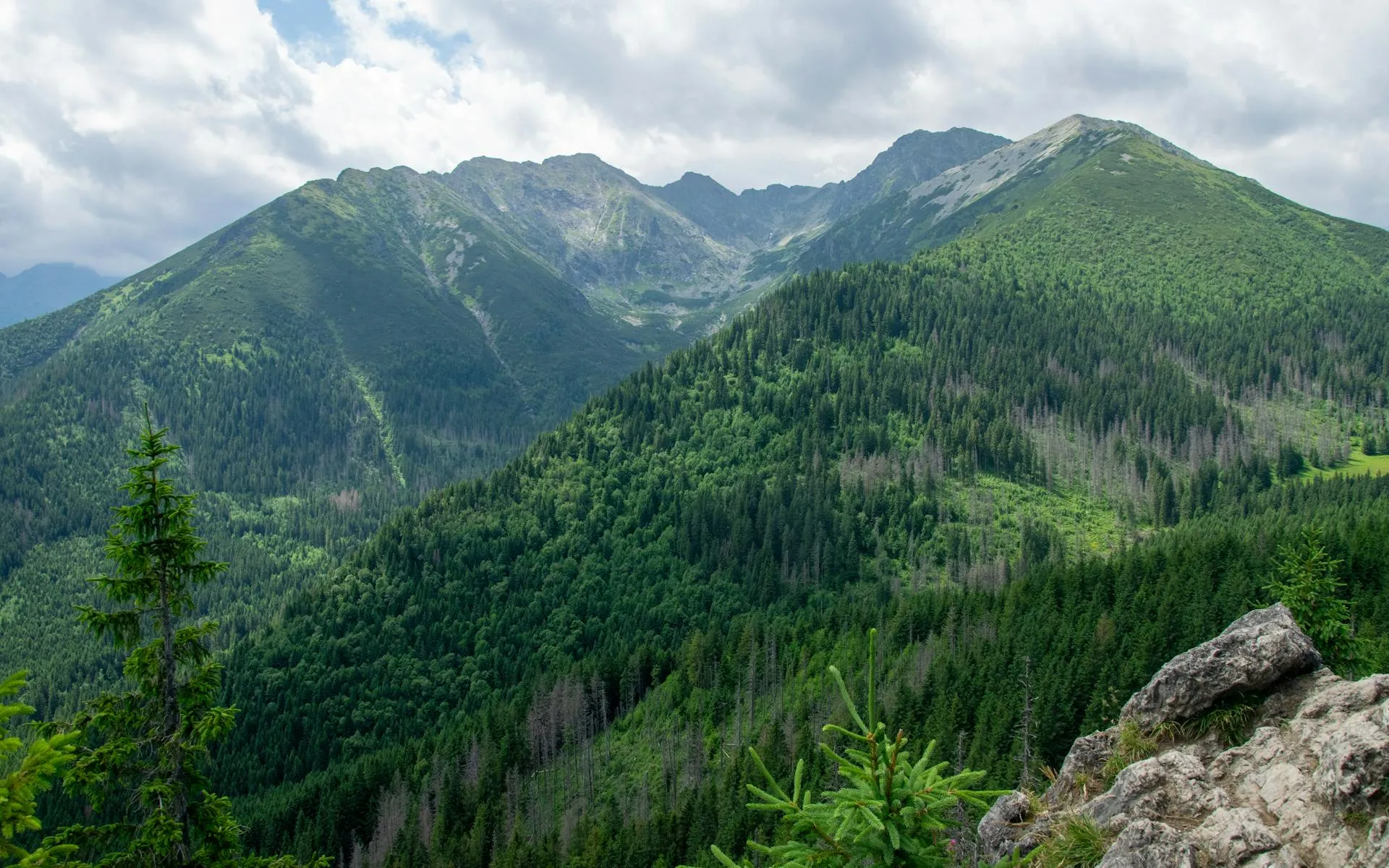
After the junction, the Sentinel Mountain Trail branches left and begins a steady climb through dense old-growth spruce-fir forest. The trail crosses several small drainages on plank bridges and stepping stones. The forest here is dark and quiet, with moss-covered boulders and the occasional sound of a winter wren. The grade is consistent but never punishing.
Upper Mountain Climb
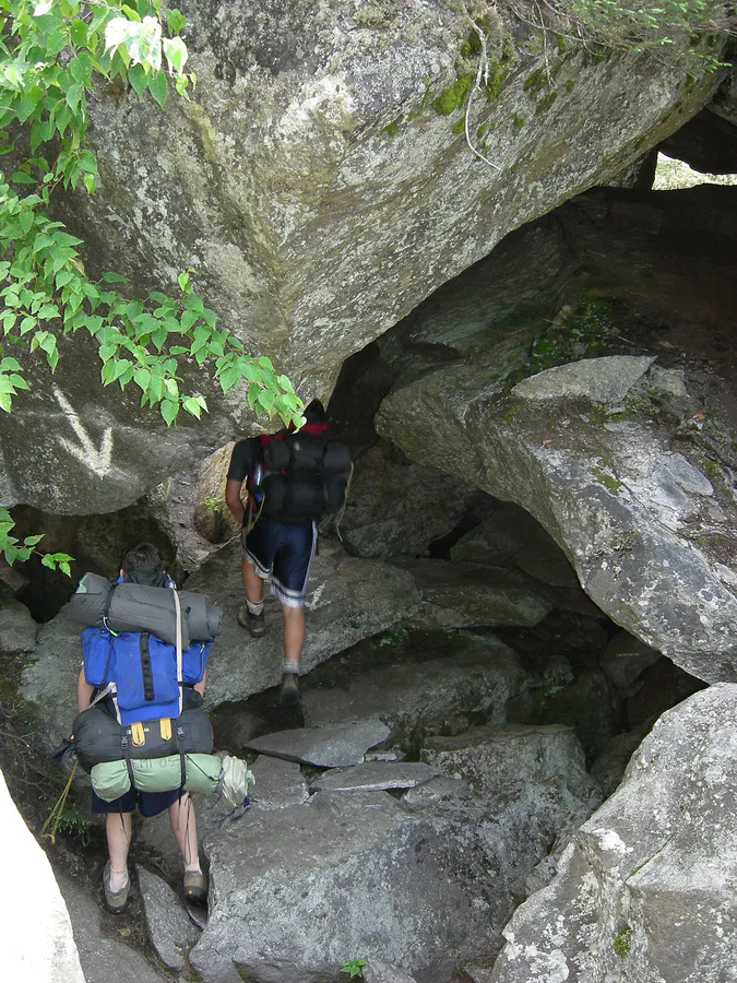
The trail steepens noticeably in the final push to the summit ridge. A few sections require easy hand-over-hand scrambling on rock steps, but nothing technical or exposed. The forest thins as you gain elevation, and glimpses of the surrounding mountains start to appear through the trees. The last hundred yards open up onto bare granite ledges.
Summit Loop
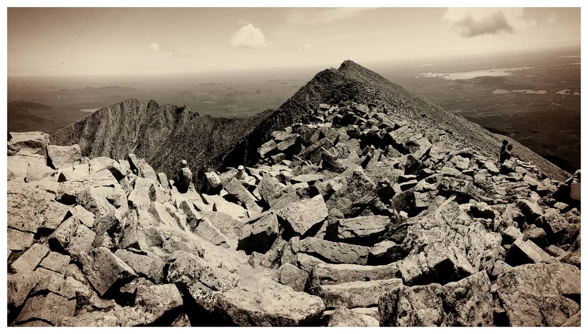
The summit features a 0.6-mile loop trail that visits multiple overlook points along the open ridge. Each overlook offers a slightly different angle on the surrounding peaks. The best Katahdin view is from the eastern ledges, where the full massif rises across the valley with the Knife Edge ridgeline clearly visible connecting Baxter Peak to Pamola. Take your time up here. There is rarely a crowd.
Baxter State Park has strict rules. Dogs are not allowed anywhere in the park. The gate opens at 6:00 AM and closes at a posted time that varies by season (often 8:00 or 9:00 PM). There is no cell service in the park. Tell someone your plan before you go. Carry a paper map.
What You Will See from the Top
The summit of Sentinel Mountain is one of the finest viewpoints in Baxter State Park. From the eastern ledges, Katahdin dominates the skyline. You can trace the entire Knife Edge ridge from Baxter Peak to Pamola Peak, and on clear days the detail is sharp enough to spot hikers on the ridgeline. The Owl, a rugged sub-peak of Katahdin, rises prominently to the southeast.
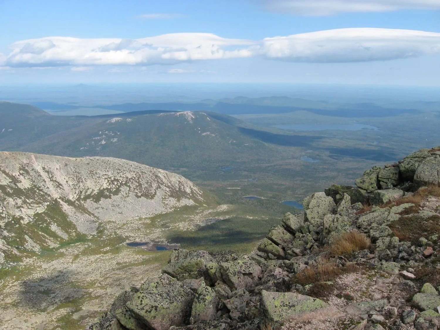
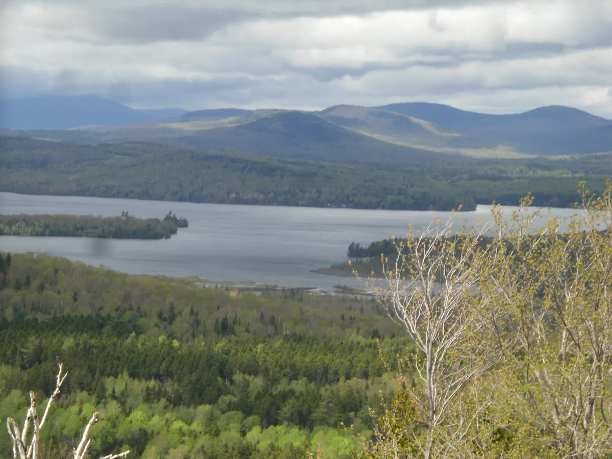
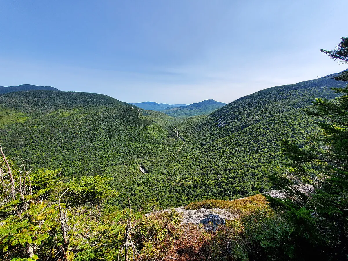
To the west, Doubletop Mountain presents its distinctive twin summits. North and south, the view is an unbroken carpet of spruce and fir forest, punctuated by ponds and lakes that flash silver in the sunlight. On autumn days when the hardwoods in the valleys are turning, the contrast between the dark conifers and golden birches is extraordinary.
When to Go
Spring
Trail can be muddy and snow-covered into late May. Blackflies emerge in June.
Summer
Dry trail, long days, wildflowers. Mosquitoes active in June-July. Arrive early.
Fall
Foliage peaks late September to early October. Cool temps, fewer bugs, stunning color.
Winter
Park closes to vehicle access. Winter access by permit only for experienced backcountry travelers.
Fall is the prime season for Sentinel Mountain. The bugs are gone, the air is crisp, and the foliage in the valleys below the summit creates one of the most photogenic landscapes in Maine. Late September through the first week of October is peak color. Summer is also excellent, though you will want bug spray and an early start to avoid afternoon thunderstorms.
Baxter State Park limits the number of vehicles allowed in each day. On peak summer and fall weekends, the Togue Pond Gate can fill and close to incoming traffic as early as 7:00 AM. Maine residents enter free; non-residents pay $15 per vehicle. Arrive before 7:00 AM on weekends or hike midweek to avoid being turned away. There is no online reservation system for day-use parking.
What to Bring
What to Bring
- Sturdy hiking boots with ankle support
- 2 liters of water (no water sources on upper trail)
- Daypack with rain cover
- Bug spray (DEET or picaridin, essential June-July)
- Head net for blackfly season
- Layers (summit can be 10-15 degrees cooler than trailhead)
- Lunch or snacks for the summit
- Paper map of Baxter State Park (no cell service)
- Rain jacket (weather changes fast)
Great for Newer Hikers
Sentinel Mountain is an excellent choice for hikers who are comfortable with moderate distances but not ready for the physical demands of Katahdin. The trail is well-maintained, the elevation gain is spread over enough distance to stay manageable, and the summit views rival anything in the park. It is also a good training hike for people preparing for a future Katahdin attempt, since it gives you a close look at the mountain you are working toward.
Families with older children (ages 8 and up with hiking experience) can handle this trail. Just budget extra time and carry plenty of water and snacks.
FAQ
How hard is Sentinel Mountain?
It is a moderate hike. The 6.2-mile round trip gains about 800 feet of elevation spread over a gradual climb. There are a few steeper sections near the summit with easy scrambles, but nothing technical or exposed. Most reasonably fit hikers complete it in 3 to 4 hours.
Can I bring my dog to Sentinel Mountain?
No. Dogs are not allowed anywhere in Baxter State Park, on any trail or road. This is a long-standing park rule with no exceptions. Service animals are also not permitted on most trails.
Is there cell service on Sentinel Mountain?
No. There is no cell service anywhere in Baxter State Park, including on summits. Carry a paper map, tell someone your plans, and be self-sufficient. A personal locator beacon or satellite communicator is a good idea for any Baxter hike.
When does the park gate open?
The Togue Pond Gate opens at 6:00 AM. On popular weekends in summer and fall, the park can fill and close to incoming vehicles as early as 7:00 AM. Arrive early, especially on weekends. Maine residents enter free; non-residents pay $15 per vehicle.
Can I combine Sentinel Mountain with other hikes?
Yes. The Kidney Pond area also gives access to trails to Lily Pad Pond and Rocky Ponds, both pleasant shorter walks. Some hikers combine Sentinel with Doubletop Mountain for a long day, though Doubletop is significantly more strenuous.
Getting There
The trailhead is at the Kidney Pond Day-Use Parking Area in Baxter State Park. From Millinocket, take Baxter Park Road north to the Togue Pond Gatehouse (about 18 miles). After passing through the gate, drive approximately 11 miles west on the Park Tote Road to the Kidney Pond turnoff on the left. Follow the access road to the day-use parking area.
From Bangor: About 90 minutes. Take I-95 north to Exit 244 (Medway/Millinocket), then Route 11/157 west to Millinocket.
From Portland: About 4.5 hours. Take I-95 north to Exit 244, then follow the same route through Millinocket.
Parking: Free with park entry. The lot is small and shared with other trailheads and Kidney Pond users. Arrive early on weekends.