Monhegan Island has no hospital, no cars, and limited cell service. The Cliff Trail follows sheer headlands with unguarded drop-offs and sections of slippery, root-laced rock. Bring all food and water you will need. Wear proper footwear. Fog can roll in quickly and reduce visibility to near zero.
Twelve Miles Off the Coast, Another World Entirely
Monhegan Island sits 12 miles off the Maine coast, a one-square-mile granite outcrop that has drawn artists since the 1850s. Rockwell Kent, Edward Hopper, and three generations of Wyeths all painted here. The island has no paved roads, no cars, and roughly 60 year-round residents. In summer the population swells with artists, hikers, and day-trippers who arrive by ferry from Port Clyde, New Harbor, or Boothbay Harbor.
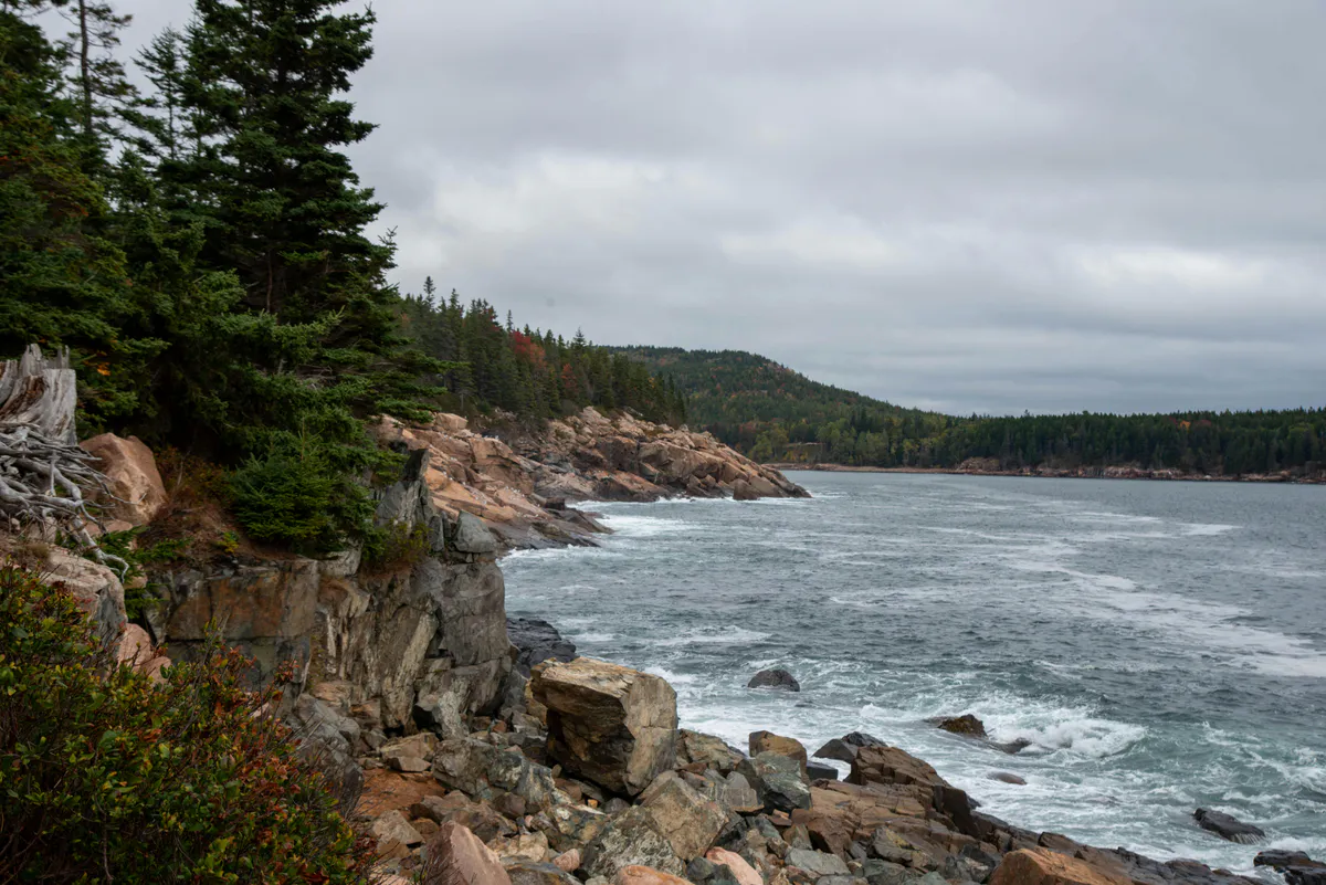
But the real draw for hikers is the backside of the island, where the Cliff Trail traces a rugged coastal loop along headlands that drop 150 feet straight into the Atlantic. The surf crashes against dark rock below, the spruce forest grows right to the cliff edge, and on a clear day you can see nothing but open ocean to the east. It is some of the most dramatic coastal scenery in New England, and the fact that you need a boat to get there keeps the crowds manageable.
The trail network is maintained by Monhegan Associates, a conservation organization that has protected the island’s wildlands since 1954. Seventeen numbered trails crisscross the island, but the Cliff Trail loop along the eastern and southern shores is the signature hike.
Trail Sections
Village to Lighthouse Hill
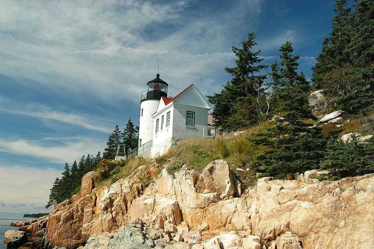
From the ferry landing, walk through the village and up the hill past the Monhegan Museum, housed in the old lighthouse keeper’s quarters next to the 1824 lighthouse. The museum is worth a stop on the way back. The trail is a wide dirt path with gentle grades as it climbs to the island’s highest point.
Lighthouse to White Head
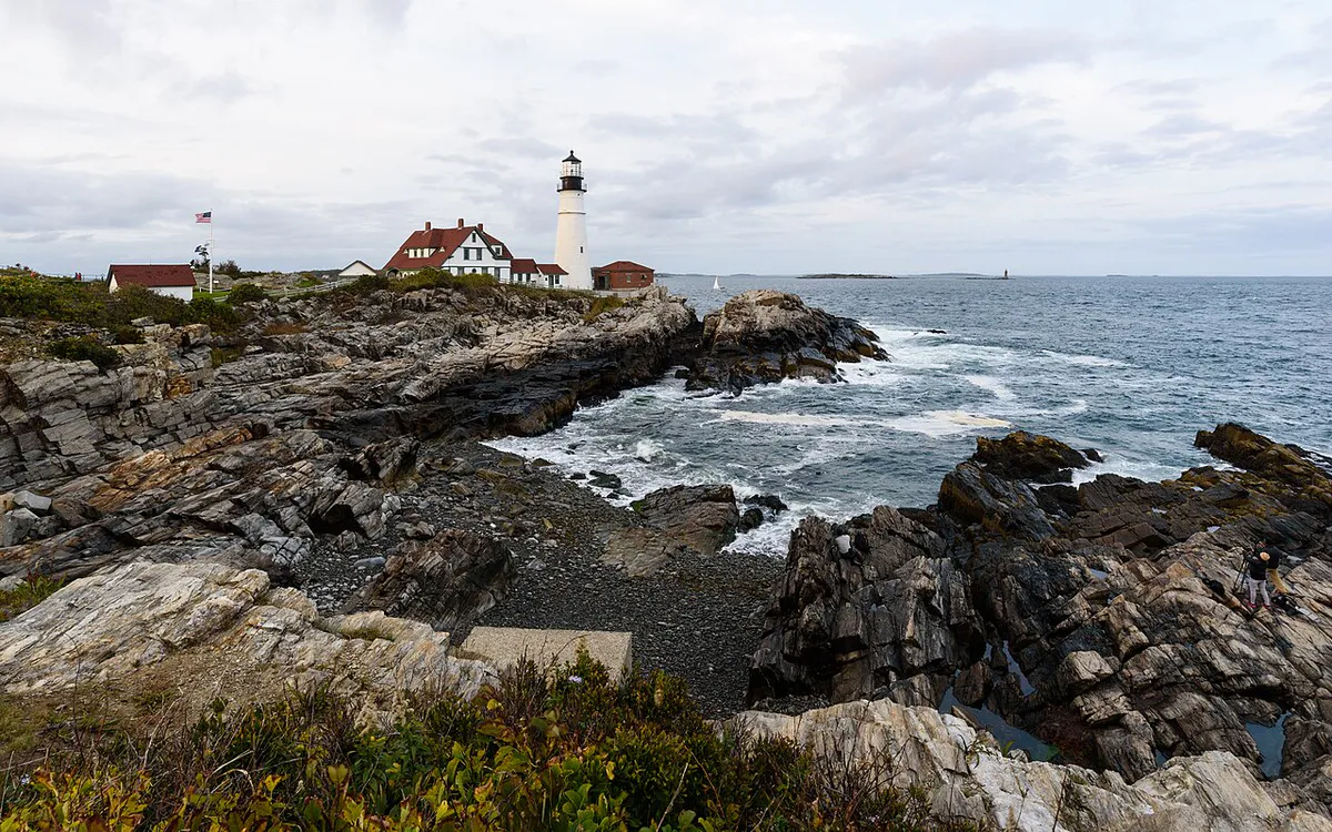
The trail descends from the lighthouse area toward the eastern shore and reaches White Head, the island’s highest sea cliff at roughly 150 feet. The views here are staggering. The dark rock plunges vertically into churning whitewater, and the open Atlantic stretches to the horizon. The footing becomes rougher here with exposed roots, loose rock, and muddy patches even in dry weather.
White Head to Burnt Head
This is the wildest section of the loop. The trail hugs the cliff edge, weaving through dense stands of wind-stunted spruce. The footing is consistently rugged with wet roots, uneven rock, and steep short climbs. Burnt Head offers another dramatic headland overlook. In June and July, the cliff-top meadows here fill with wild roses, lupines, and other wildflowers.
Burnt Head to Lobster Cove
The trail rounds the southern tip of the island and descends to Lobster Cove, a sheltered inlet where the surf is calmer and the rocks are sculpted into smooth forms by centuries of waves. This is a good rest spot. The wreck of the tugboat D.T. Sheridan, which ran aground in 1948, is visible at low tide.
Lobster Cove to Village via Cathedral Woods
From Lobster Cove, you can return to the village via Cathedral Woods, a dense interior forest of towering spruce trees. The canopy blocks most of the light, creating a hushed, moss-carpeted corridor that feels completely different from the exposed cliff trail. Fairy houses built by visitors line parts of the path. The trail emerges near the village, completing the loop.
What You Will See
The Cliff Trail is about the raw power of the ocean meeting resistant rock. White Head is the dramatic centerpiece, where the island’s highest cliffs face the open Atlantic head-on. Stand here on a day with any swell running and the sound alone is worth the ferry ticket. Waves hit the base of the cliff and send spray dozens of feet into the air.
Burnt Head, farther south, is quieter but equally beautiful. The headland extends out over the water and the views sweep along the island’s entire eastern coast. This is where artists have set up easels for generations, and you will understand why immediately.
Between the headlands, the trail passes through some of the densest spruce forest on the Maine coast. The trees are shaped by salt wind into gnarled, compact forms, and the understory is thick with ferns, moss, and lichen. In spring and early summer, the wildflower display on the cliff-top meadows is exceptional.
Cathedral Woods, the interior route back to the village, is the counterpoint to all that exposed coastal drama. The tall spruces block the wind and the light, and the forest floor is soft and quiet. It is a gentle end to a rugged hike.
The Monhegan Boat Line from Port Clyde offers the most departures. In summer, the first boat typically leaves at 7:00 AM and the last return boat departs Monhegan around 4:15 PM, giving you roughly 8 hours on the island. That is enough time for the full Cliff Trail loop plus lunch and a visit to the museum. Check the current schedule before going, as times change seasonally.
When to Go
Spring
Ferry service resumes in May. Trails can be muddy. Fewer visitors. Migrating birds on the island.
Summer
Full ferry schedule. Wildflowers peak June-July. Warmest weather. Most services open on the island.
Fall
Hawk migration in September-October. Foliage on the island. Fewer day-trippers. Ferry runs through mid-October.
Winter
No regular ferry service. The island is accessible only by private boat. Trails are not maintained.
What to Bring
What to Bring
- Sturdy hiking boots (trail is rocky and rooted)
- At least 2 liters of water (no water sources on trail)
- Packed lunch and snacks
- Rain jacket (fog and rain can appear quickly)
- Binoculars for seabirds and ocean views
- Layers for wind exposure on the cliffs
- Cash for the ferry and island shops
- Camera with charged battery
- Sunscreen and hat for exposed sections
No bikes are allowed on the island trails. Leave trekking poles at home for the narrow cliff sections where balance and hand contact with rock are more useful. Bring everything you will need for the day, as options on the island are limited to a few small shops and cafes in the village.
Getting There
Monhegan Island is accessible by passenger ferry only. There are no cars on the island.
From Port Clyde (most common): Monhegan Boat Line operates year-round with the most frequent service. About 70 minutes each way. Drive time from Portland to Port Clyde is roughly 1.5 hours via Route 1 to Thomaston, then Route 131 south.
From New Harbor: Hardy Boat Cruises operates seasonal service (May-October). About 60 minutes each way.
From Boothbay Harbor: Balmy Days Cruises operates seasonal day trips in summer.
On the island: From the ferry landing, all trails are accessible on foot. The Cliff Trail loop begins at the lighthouse, a 10-minute walk uphill from the wharf.
Parking: Each ferry operator has a parking lot at their departure point. Port Clyde lot is free for ferry passengers.
Combining with Other Experiences
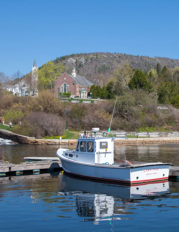
Monhegan is more than a hike. The island has a long history as an artist colony, and several studios and galleries are open to visitors in summer. The Monhegan Museum of Art and History, next to the lighthouse, houses a collection of works painted on the island. The village itself is a handful of weathered buildings, a couple of inns, and a quiet harbor full of lobster boats.
If you are looking for more dramatic coastal hiking on the mainland, the Bold Coast Trail in Cutler offers similar cliff-top scenery on a longer and more remote route.
FAQ
Can I do the Cliff Trail as a day trip?
Yes. The summer ferry schedule gives you roughly 8 hours on the island, which is plenty of time for the full loop plus lunch. Book your ferry tickets in advance, especially on weekends.
Is the Cliff Trail dangerous?
The trail has real hazards: unguarded cliff edges, slippery roots, and uneven rock. People have been injured. It is not technical climbing, but it requires attention and sturdy footwear. Do not hike in flip-flops or sandals.
Is there cell service on Monhegan?
Effectively no. Some carriers get a faint signal near the lighthouse, but do not count on it. Download any maps or ferry schedules before you leave the mainland.
Can I bring my dog?
Dogs are allowed on leash on the island trails. The rugged terrain and cliff edges make this a hike for well-behaved, sure-footed dogs only. Bring water for your dog as well.
Are there places to eat on Monhegan?
Yes. A few small cafes and shops in the village serve food in summer. Options are limited and hours vary, so bringing your own food is always a good idea.